Introduction to Satellite Imagery and its Importance in Agriculture
Satellite imagery has transformed agricultural practices worldwide.
It provides vital insights into land use and crop health.
Farmers and land investors rely on accurate data for decision-making.
This technology enhances sustainable farmland purchase decisions.
Understanding Satellite Imagery
Satellite imagery captures detailed images of the Earth’s surface.
These images are taken from satellites orbiting the planet.
They offer a unique perspective on agricultural land.
Furthermore, satellite data is available in various resolutions.
This allows users to assess land quality and health effectively.
Applications in Agriculture
Farmers utilize satellite imagery for crop monitoring.
It helps in identifying crop health and potential issues.
Additionally, it allows for effective resource management.
They can track soil moisture levels and nutrient availability.
This information fosters precision farming techniques.
Benefits of Using Satellite Imagery
- Provides real-time insights into agricultural conditions.
- Reduces the risk involved in farmland investments.
- Enhances yield predictions based on accurate data.
- Supports sustainable farming practices by minimizing land degradation.
The Role of Data Analytics
Data analytics further enhances the use of satellite imagery.
Transform Your Agribusiness
Unlock your farm's potential with expert advice tailored to your needs. Get actionable steps that drive real results.
Get StartedIt transforms raw data into actionable insights.
Indeed, analytics can identify trends and patterns over time.
This helps stakeholders make informed decisions.
Thus, integrating data analytics with satellite imagery is beneficial.
Types of Satellite Imagery: Optical vs. Radar and Their Applications
Understanding Optical Satellite Imagery
Optical satellite imagery captures data using sunlight reflected from Earth’s surface.
This imagery provides detailed color images of landscapes.
Optical sensors record visible light, near-infrared, and shortwave infrared wavelengths.
Farmers can analyze crop health and growth patterns using this data.
Additionally, optical images help assess land use and soil conditions.
However, weather conditions can limit the effectiveness of optical imagery.
Cloud cover may obscure valuable data during critical analysis phases.
Applications of Optical Satellite Imagery
This imagery has various applications in agriculture and environmental management.
- Crop monitoring and yield prediction
- Soil moisture analysis
- Land cover and land use classification
Farmers can use optical images to make informed decisions.
These insights directly impact sustainable farming practices.
Exploring Radar Satellite Imagery
Radar satellite imagery uses microwave signals to capture data.
This technology allows for imaging during any weather condition.
Radar can penetrate clouds, making it valuable for continuous monitoring.
It provides elevation data and surface roughness insights.
Moreover, radar images are effective for monitoring flood and disaster impacts.
These capabilities enable comprehensive landscape assessments.
Applications of Radar Satellite Imagery
Radar satellite imagery serves several critical applications.
- Disaster response and recovery efforts
- Wetland monitoring and management
- Forest structure and biomass assessment
Organizations utilize radar data to support environmental research.
These applications play a crucial role in sustainable farmland management.
Comparing Optical and Radar Imagery
Both optical and radar images offer unique insights.
Showcase Your Farming Business
Publish your professional farming services profile on our blog for a one-time fee of $200 and reach a dedicated audience of farmers and agribusiness owners.
Publish Your ProfileWhile optical imagery provides intricate visual details, radar continues through clouds.
This difference is vital for specific farming decisions.
Integration of both types can enhance farmland assessments.
By combining advantages, farmers can optimize their land use strategies.
Key Vegetation Indices Derived from Satellite Data for Soil Health Assessment
Introduction to Vegetation Indices
Vegetation indices provide vital information for soil health assessment.
They leverage satellite imagery to analyze plant health and vigor.
Such indices help farmers make informed decisions regarding land management.
Normalized Difference Vegetation Index (NDVI)
NDVI is one of the most commonly used vegetation indices.
It measures the difference between near-infrared and visible light reflected by vegetation.
A higher NDVI value indicates healthier greenery.
This index helps determine crop status and soil moisture levels.
Enhanced Vegetation Index (EVI)
EVI offers enhanced sensitivity to variations in vegetation.
This index corrects for atmospheric conditions and soil brightness influences.
It is effective in densely vegetated areas.
Using EVI, farmers can monitor changes in vegetation cover effectively.
Soyl-Adjusted Vegetation Index (SAVI)
SAVI adjusts for soil brightness effects in vegetation analysis.
This index is particularly useful in areas with sparse vegetation.
By accounting for soil influences, it enhances accuracy in soil health assessments.
Correlation Between Vegetation Indices and Soil Health
Several studies show a strong correlation between vegetation indices and soil health metrics.
Healthy plants often indicate rich, nutrient-dense soil.
Monitoring these indices helps identify areas needing improvement.
Farmers can implement targeted interventions based on index readings.
Applications in Sustainable Agriculture
Vegetation indices play a critical role in sustainable farming practices.
They guide decisions on crop rotation, cover cropping, and soil amendments.
Farmers utilize this data to enhance yields while preserving soil health.
Ultimately, these practices contribute to long-term agricultural sustainability.
Future Directions for Satellite-based Soil Health Assessment
As technology advances, satellite-derived indices will improve in accuracy.
Emerging tools promise even greater insights into soil health.
By integrating advanced satellite data, farmers can optimize their land management strategies.
This ensures a healthier ecosystem for future generations.
Discover More: Organic Weed Control Solutions for Sustainable Farming
How Satellite Imagery Enhances Site Selection for Sustainable Farming
Improved Data Collection
Satellite imagery provides detailed insights into land conditions.
This technology captures data that ground surveys may overlook.
Consequently, farmers gain comprehensive information for decision-making.
Monitoring Soil Health
Satellite images reveal soil health indicators efficiently.
Farmers can identify nutrient levels and moisture content quickly.
As a result, they can make more informed investment choices.
Evaluating Land Use
Imagery allows farmers to assess current land utilization patterns.
This analysis informs better planning and crop rotation strategies.
Moreover, it highlights areas that require restoration or protection.
Showcase Your Farming Business
Publish your professional farming services profile on our blog for a one-time fee of $200 and reach a dedicated audience of farmers and agribusiness owners.
Publish Your ProfileClimate Analysis
Satellite data helps evaluate climate conditions over time.
Farmers gain insight into rainfall patterns and temperature variations.
Consequently, understanding these factors aids crop selection processes.
Identifying Risks
Using satellite technology can help spot environmental risks.
Farmers can identify potential hazards like flooding or drought.
By recognizing these risks early, they can make proactive adjustments.
Supporting Sustainable Practices
Satellite imagery fosters sustainable farming practices effectively.
Farmers can monitor crop health and overall ecosystem resilience.
This information enables more responsible resource management.
Discover More: Using Integrated Pest Management for Organic Garden Protection
Case Studies: Successful Implementation of Satellite Analysis in Farmland Purchases
Utilizing Satellite Imagery for Crop Monitoring
Agricultural Innovations LLC implemented satellite imagery to monitor crop health.
This technology helped identify areas needing irrigation adjustments.
By analyzing data, the company improved yield predictions significantly.
Farmers reported increased profits due to optimized resource allocation.
Identifying Sustainable Land Opportunities
Green Earth Farms utilized satellite data to assess soil quality.
They identified plots rich in nutrients and water availability.
This method enabled informed decision-making for land purchases.
As a result, the farm expanded sustainably while minimizing risks.
Case Study: Terra Agro’s Land Acquisition
Terra Agro leveraged satellite analysis to evaluate potential farmland.
They assessed vegetation indices to determine land fertility.
This data-driven approach enhanced their acquisition strategies.
Consequently, Terra Agro increased its farmland portfolio responsibly.
Enhancing Decision-Making Through Advanced Analytics
Harvest Technologies combined satellite imagery with AI analytics.
This integration offered insights into long-term agricultural trends.
The firm successfully guided its clients in making well-informed purchases.
Data visualization tools improved stakeholder engagement and transparency.
Reducing Environmental Impact with Precise Data
SoilSmart implemented satellite monitoring to assess environmental impacts.
They focused on areas prone to erosion and degradation.
This proactive approach reduced negative consequences of farming operations.
Farmers could make sustainable choices while preserving ecosystems.
Find Out More: Preventing Soil-Borne Pathogens For Long-Term Farmland Property Value ROI
Overcoming Challenges in Satellite Data Interpretation for Farmers
Understanding the Complexity of Satellite Data
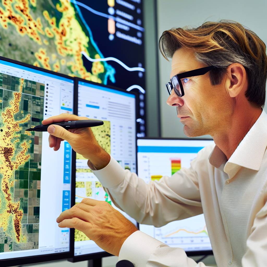
Satellite data presents a wealth of information for farmers.
However, interpreting this data can be complex.
Several factors contribute to this complexity.
Soil variability, weather conditions, and crop types can all influence data interpretation.
Farmers need to understand these variables to make informed decisions.
Training and Education on Satellite Imagery
Education plays a vital role in overcoming data interpretation challenges.
Farmers should seek training on how to utilize satellite imagery effectively.
Workshops and online courses can provide valuable insights.
Additionally, collaboration with data experts can enhance understanding.
Showcase Your Farming Business
Publish your professional farming services profile on our blog for a one-time fee of $200 and reach a dedicated audience of farmers and agribusiness owners.
Publish Your ProfileBy strengthening their skills, farmers can make better use of satellite data.
Utilizing Analytical Tools
Various analytical tools simplify the interpretation of satellite data.
Farmers can leverage software designed for agricultural analysis.
These tools often come with user-friendly interfaces.
Consequently, they aid in visualizing complex data sets.
Farmers should explore tools tailored to their specific crop needs.
Ensuring Data Accuracy
Data accuracy significantly affects decision-making.
Farmers need to cross-reference satellite data with ground data.
Regular ground truthing helps validate satellite information.
Maintaining accurate records of local conditions is essential.
This practice ensures that decisions are based on reliable data.
Adapting to Technology Changes
Technology in satellite imagery continues to evolve.
Farmers must adapt to these changes to remain competitive.
Staying informed about new technologies allows for better adoption.
Continuous learning ensures farmers are not left behind.
Engagement in agricultural tech forums can provide updates and insights.
Building a Support Network
Having a supportive network enhances the use of satellite data.
Farmers should connect with peers who share similar interests.
Establishing relationships with agronomists can provide expert guidance.
Furthermore, participating in community discussions fosters knowledge sharing.
Collaborative efforts often lead to better problem-solving strategies.
You Might Also Like: Spotting Early Crop Infections For Higher US Farmland Investment Returns
Integrating Satellite Imagery with Other Technologies for Enhanced Decision Making
The Role of Satellite Imagery in Agriculture
Satellite imagery provides a bird’s eye view of farmland.
It captures data on crop health, moisture levels, and soil conditions.
Farmers can use this information to make informed decisions.
Additionally, the imagery helps identify areas needing attention.
Utility of Geographic Information Systems (GIS)
GIS enhances the analysis of satellite data.
It allows farmers to overlay various data layers on maps.
This integration helps visualize spatial relationships among different variables.
Farmers can identify patterns and trends in crop yields over time.
Enhancing Insights with Internet of Things (IoT)
The IoT complements satellite imagery effectively.
Sensors in the fields collect real-time data on conditions.
Farmers receive actionable insights from this continuous stream of information.
Combining IoT data with satellite imagery provides a comprehensive view.
Benefits of Integration
- This integrated approach improves decision-making accuracy.
- It facilitates more effective resource management on farmland.
- Farmers can optimize planting and harvesting schedules based on better predictions.
Consequently, this leads to increased yields and sustainability.
Case Studies of Successful Integration
Several farms have successfully integrated these technologies.
Green Acres Farm uses satellite imagery and GIS to analyze soil moisture.
By combining these methods, they improved their irrigation practices.
Sunny Fields Co. implemented IoT devices alongside satellite data.
This allowed them to monitor crop conditions and pests effectively.
Showcase Your Farming Business
Publish your professional farming services profile on our blog for a one-time fee of $200 and reach a dedicated audience of farmers and agribusiness owners.
Publish Your ProfileFuture Applications and Innovations
The future of farming lies in advanced technology integration.
Further advancements in AI and machine learning will refine these technologies.
This will enable predictive analytics for even better decision-making.
As a result, farmers can adapt to changing environmental conditions promptly.
Future Trends in Satellite Imagery and Their Impact on Sustainable Agriculture
Advancements in Technology
Satellite technology continues to evolve rapidly.
New sensors provide higher resolution images.
These advancements enhance data accuracy and detail.
As a result, farmers can make better-informed decisions.
Increased Accessibility
Access to satellite imagery has become more widespread.
Even small-scale farmers can benefit from this technology.
Affordable satellite imagery services are now available.
This democratization supports sustainable farming practices.
Real-Time Monitoring
Real-time satellite data offers timely insights into crop health.
Farmers can respond more quickly to environmental changes.
This proactive approach improves yield potential.
Moreover, it reduces resource waste and enhances sustainability.
Data Integration and Decision Support
Integrating satellite imagery with other data sources is vital.
For instance, combining weather data enriches agricultural analysis.
Farm management systems can leverage this information effectively.
This integration helps farmers optimize their operations.
Predictive Analytics
Predictive analytics utilizes satellite data for forecasting.
Farmers can anticipate crop performance based on historical data.
This capability aids in making forward-thinking decisions.
Consequently, it enhances the sustainability of farming practices.
Environmental Monitoring
Satellite imagery excels in monitoring land use changes.
This information protects natural habitats from agricultural expansion.
Farmers can adapt practices to minimize ecological impacts.
Overall, it promotes harmony between agriculture and nature.
Collaborative Efforts and Partnerships
Collaboration between tech companies and farmers is essential.
Partnerships can facilitate the sharing of satellite data.
This sharing enhances the collective knowledge of sustainable practices.
As a result, it drives innovation in sustainable agriculture.
Additional Resources
Find Land and Fund Your Farm Operation | Farmers.gov
AI in Agriculture and Farming: Revolutionizing Crop Growth – Intellias

