Introduction to Remote Sensing in Agriculture
Remote sensing plays a crucial role in modern agriculture.
This technology allows farmers to monitor their crops effectively.
Utilizing satellite or aerial imagery, farmers can evaluate crop health.
Moreover, it aids in assessing environmental conditions.
This data-driven approach promotes efficient agricultural practices.
Understanding Remote Sensing
Remote sensing refers to collecting data from a distance.
Devices such as satellites and drones capture images and information.
This data helps farmers make informed decisions.
Applications in Agriculture
Farmers use remote sensing for various applications.
- Crop health monitoring
- Irrigation management
- Soil moisture assessment
- Pest and disease detection
Each application enhances the overall efficiency of farming.
Benefits of Remote Sensing
Remote sensing significantly benefits agricultural practices.
It improves yields by providing precise data for decision-making.
Additionally, it reduces resource wastage and environmental impact.
Farmers can optimally manage inputs like water and fertilizer.
Challenges and Limitations
Despite its advantages, remote sensing has challenges.
Transform Your Agribusiness
Unlock your farm's potential with expert advice tailored to your needs. Get actionable steps that drive real results.
Get StartedData interpretation requires specialized knowledge and training.
Also, initial costs for technology can be high.
Lastly, factors like cloud cover can affect data accuracy.
Key Remote Sensing Technologies for Sustainable Farming
Introduction to Remote Sensing
Remote sensing plays a vital role in sustainable farming practices.
This technology enhances decision-making processes in agriculture.
Farmers use remote sensing to monitor crop health effectively.
Moreover, it provides insights into soil conditions and moisture levels.
Satellite Imagery
Satellite imagery serves as a powerful tool for monitoring large agricultural areas.
This technology captures high-resolution images of fields from space.
Farmers can assess crop growth and detect disease early.
Furthermore, it supports precision farming strategies.
Benefits of Satellite Imagery
- Offers a wide coverage of agricultural landscapes.
- Provides critical data for yield prediction.
- Helps in detecting irrigation issues.
Drones in Agriculture
Drones are revolutionizing the way farmers approach their fields.
These unmanned aerial vehicles collect data quickly and efficiently.
Farmers can use drones to perform detailed crop analysis.
Additionally, they allow for real-time monitoring of crops and livestock.
Advantages of Drones
- Capable of capturing images from multiple angles.
- Facilitate timely interventions in crop management.
- Reduce overall labor costs significantly.
Soil Moisture Sensors
Soil moisture sensors offer critical information for irrigation management.
Farmers utilize these devices to measure water levels in the soil.
Accurate data helps in optimizing water usage.
Moreover, it aids in preventing over-irrigation.
Importance of Soil Moisture Sensors
- Enhance water conservation efforts.
- Improve crop health and yield quality.
- Support sustainable soil management practices.
Combining Technologies for Maximum Impact
Integrating satellite imagery and drones improves data accuracy.
This combination enables a comprehensive view of farm conditions.
Farmers can make informed decisions based on precise data.
As a result, sustainable farming practices become more achievable.
Application of Satellite Imagery for Crop Monitoring
Understanding Satellite Imagery
Satellite imagery captures detailed images of the Earth’s surface.
Showcase Your Farming Business
Publish your professional farming services profile on our blog for a one-time fee of $200 and reach a dedicated audience of farmers and agribusiness owners.
Publish Your ProfileFarmers use this technology to monitor crop health and growth patterns.
Moreover, it allows for large-scale assessments across diverse geographical areas.
Benefits of Satellite Data
Satellite data provides timely insights into crop conditions.
It helps farmers optimize resource use by identifying stressed areas.
Additionally, it supports data-driven decision-making in farming practices.
Farmers can track changes in vegetation over time effectively.
This approach enhances yield prediction and management strategies.
Types of Satellite Imagery Used
There are various types of satellite imagery beneficial for agriculture.
- Multispectral imagery captures light in multiple wavelengths.
- Hyperspectral imagery offers even more detailed spectral information.
- Infrared imagery detects plant health through temperature variations.
Each type offers unique insights into crop conditions and soil moisture.
Integrating Satellite Imagery into Farming Practices
Farmers can integrate satellite imagery through precision agriculture tools.
These tools assist in monitoring soil moisture and nutrient levels.
Furthermore, they facilitate timely interventions to prevent crop loss.
For example, targeted irrigation can be applied based on data insights.
Challenges and Considerations
Despite its benefits, challenges exist with satellite imagery application.
Data interpretation requires specific skills and expertise.
Additionally, the initial investment in technology might be a barrier.
Farmers need continuous training to leverage this technology effectively.
Future of Satellite Imagery in Agriculture
The future looks promising for satellite imagery in farming.
Advancements in technology will provide even more accurate data.
As a result, farmers will make smarter, sustainable farming decisions.
This approach ultimately leads to increased efficiency and productivity.
Find Out More: Top Automated Tools for Sustainable Agriculture
Drones in Agriculture: Advantages and Use Cases
Introduction to Drone Technology
Drones have revolutionized modern agriculture.
They enable farmers to monitor their crops effectively.
Additionally, drone technology has become more accessible.
Farmers can now leverage drones without extensive training.
Advantages of Using Drones in Farming
Drones offer numerous advantages for agricultural practices.
They provide high-resolution aerial imagery.
This imagery helps in assessing crop health.
Consequently, farmers can make informed decisions about their crops.
Increased Efficiency
Drones allow for swift data collection over large areas.
A farmer can survey vast fields in a short time.
As a result, they save time and resources.
Precision Agriculture
Drones support precision agriculture techniques.
Farmers can apply water, fertilizers, and pesticides accurately.
This targeted approach minimizes waste and maximizes yield.
Diverse Use Cases for Drones in Agriculture
Drones can be used for various agricultural tasks.
Some of the most common applications include:
- Crop monitoring and mapping.
- Irrigation management.
- Soil analysis and sampling.
- Pesticide and fertilizer application.
- Livestock monitoring.
Crop Monitoring and Mapping
Drones capture detailed images of crops from above.
This data helps in identifying stressed areas.
Showcase Your Farming Business
Publish your professional farming services profile on our blog for a one-time fee of $200 and reach a dedicated audience of farmers and agribusiness owners.
Publish Your ProfileFarmers can quickly address issues to enhance productivity.
Irrigation Management
Using drones, farmers can assess moisture levels.
This information allows for better irrigation strategies.
Consequently, it leads to water conservation.
Soil Analysis and Sampling
Drones can help analyze soil conditions.
This analysis is crucial for effective crop planning.
Farmers can adjust their practices based on these insights.
Pesticide and Fertilizer Application
Drones can deliver chemicals precisely where needed.
This reduces the impact on non-target areas.
Furthermore, it enhances the efficiency of inputs.
Livestock Monitoring
Employing drones for livestock management is beneficial.
Farmers can track their herds’ movements easily.
This helps in ensuring animal welfare and safety.
Discover More: Remote Sensing Solutions for Precision Agriculture
Analyzing Soil Health through Remote Sensing
Introduction to Remote Sensing
Remote sensing technology allows farmers to gather vital information about their soil from afar.
This technology employs satellites and drones to monitor vast agricultural areas efficiently.
Moreover, it helps in obtaining timely and accurate data essential for informed decision-making.
Importance of Soil Health
Soil health plays a crucial role in sustainable farming practices.
Healthy soil supports crop growth and enhances agricultural productivity.
In addition, it serves as a habitat for beneficial microorganisms.
Remote Sensing Techniques for Soil Health Analysis
Farmers can utilize various remote sensing techniques to assess soil health.
Those techniques include multispectral and hyperspectral imaging.
Additionally, electromagnetic sensing can provide insights into soil moisture content.
Multispectral Imaging
Multispectral imaging captures data across different wavelengths.
This technique enables the identification of vegetation stress and nutrient deficiencies.
Farmers can analyze this data to optimize their fertilization strategies.
Hyperspectral Imaging
Hyperspectral imaging offers more detailed information than multispectral imaging.
This method detects specific wavelengths of light that reflect off the soil.
Furthermore, it helps identify soil composition and organic matter content.
Electromagnetic Sensing
Electromagnetic sensing measures the soil’s dielectric properties.
This method assists in determining moisture levels and salinity in the soil.
Farmers can leverage this information for efficient irrigation management.
Integration of Data for Improved Decision-Making
Integrating data from remote sensing with soil health assessments leads to better farming practices.
This integration ensures precise application of nutrients and water resources.
Consequently, it minimizes waste and maximizes crop yield.
Challenges in Remote Sensing
While remote sensing offers significant benefits, it also presents challenges.
For instance, high initial costs can deter small-scale farmers from adoption.
Additionally, data interpretation requires specialized knowledge and training.
Future of Remote Sensing in Agriculture
The future of remote sensing in agriculture looks promising.
Technological advancements will likely reduce costs and enhance accessibility.
Showcase Your Farming Business
Publish your professional farming services profile on our blog for a one-time fee of $200 and reach a dedicated audience of farmers and agribusiness owners.
Publish Your ProfileMoreover, improved data analytics tools will facilitate better soil health assessments.
See Related Content: Robots Improving Soil Health And Management
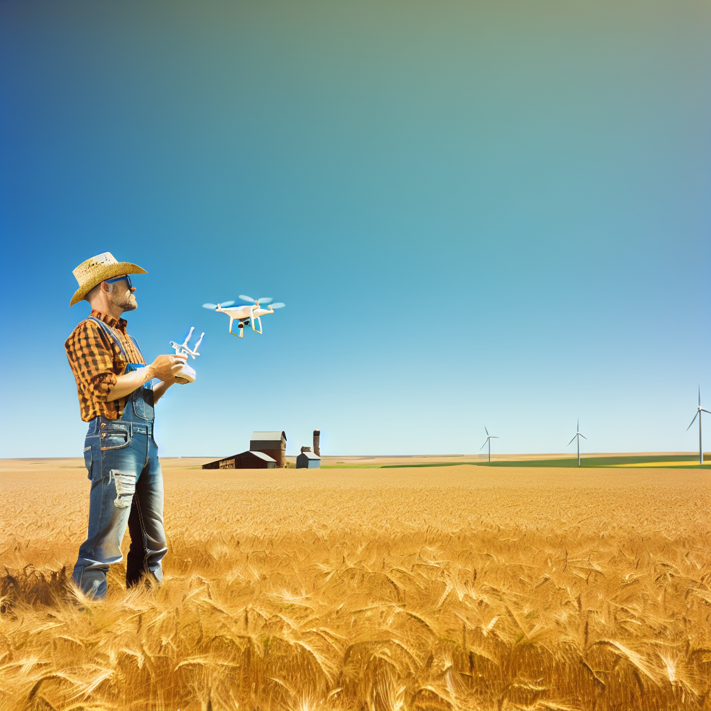
Precision Agriculture: Data Integration and Decision Making
The Role of Remote Sensing in Agriculture
Remote sensing technology revolutionizes data collection in agriculture.
This technology provides farmers with critical information about their fields.
Moreover, it enhances the ability to monitor crop health effectively.
Farmers can utilize satellite images and drone data to assess conditions.
These tools help in pinpointing areas that require intervention.
Data Integration Techniques
Data integration consolidates diverse data sources for comprehensive analysis.
Farmers can combine weather data, soil moisture levels, and crop health metrics.
This integration enables informed decision-making based on real-time insights.
Additionally, various software solutions exist to facilitate this process.
Farmers should select tools that suit their specific needs and resources.
Decision-Making Frameworks
A structured decision-making framework enhances strategic planning.
Farmers can use predictive analytics to forecast yields and optimize operations.
Such frameworks support the evaluation of potential risks and rewards.
Ultimately, they help in crafting effective long-term agricultural strategies.
Implementing these frameworks leads to improved operational efficiency.
Challenges in Data Management
Data management poses significant challenges for farmers.
The volume of data generated can be overwhelming without proper tools.
Moreover, integrating data from various sources remains complex.
Farmers need training to effectively utilize advanced technologies.
Cultivating data literacy among agricultural workers is crucial.
Future of Precision Agriculture
The future of precision agriculture promises enhanced sustainability.
Advancements in technology will further refine data collection methods.
Farmers will increasingly rely on machine learning and AI.
These technologies will improve prediction models and risk assessments.
Ultimately, this evolution supports sustainable farming practices worldwide.
Explore Further: The Future of Farming with Smart Irrigation
Case Studies: Successful Implementation of Remote Sensing in Farming
Introduction to Remote Sensing in Agriculture
Remote sensing technology has revolutionized farming practices.
With the help of satellites and drones, farmers gain valuable insights.
This approach helps optimize resource use efficiently.
Case Study: Sustainable Vineyard Management
The Garcia Vineyard illustrates remote sensing’s power.
They implemented drone technology for real-time monitoring.
This action enabled precise irrigation management.
The results showed improved grape quality and yield.
This case highlights sustainable practices through technology.
Data Collection and Analysis
Data collection was continuous, allowing dynamic decision-making.
The team analyzed leaf moisture levels through infrared imagery.
Moreover, they monitored pest populations effectively.
Case Study: Efficient Crop Monitoring in Cornfields
Next, the Green Valley Farm adopted satellite imaging.
Showcase Your Farming Business
Publish your professional farming services profile on our blog for a one-time fee of $200 and reach a dedicated audience of farmers and agribusiness owners.
Publish Your ProfileThis farm utilized multispectral imagery to assess crop health.
Early detection of crop stress led to timely interventions.
Consequently, they achieved significant reductions in resource waste.
Integrating Technology with Traditional Practices
This approach seamlessly combined modern technology and traditional knowledge.
Farmers adjusted their fertilization schedules based on data insights.
Enhanced yields demonstrated a clear return on investment.
Case Study: Precision Farming in Wheat Production
The Thompson Family Farm showcased precise farming techniques.
They employed remote sensing for soil moisture assessment.
This advanced technique informed irrigation strategies effectively.
Improving Resource Management
By optimizing water usage, they reduced operational costs.
Additionally, the farm minimized environmental impact significantly.
This case emphasizes sustainability through smart practices.
Successful Applications in Agriculture
These case studies highlight successful applications of remote sensing.
By implementing innovative techniques, farmers enhance sustainability.
Moreover, these examples inspire others in the agricultural sector.
Future Trends in Remote Sensing for Sustainable Agriculture
Emerging Technologies
Emerging technologies reshape remote sensing in agriculture.
Drone technology offers unprecedented precision in crop monitoring.
Satellite imagery provides broad coverage of agricultural lands.
Moreover, AI algorithms enhance data analysis capabilities.
These technologies keep farmers informed about field conditions.
Integration of Big Data
Big data is becoming essential for farmers seeking efficiency.
It allows for the aggregation of massive datasets from various sources.
Farmers analyze historical weather patterns to predict crop performance.
Additionally, they monitor soil health with detailed analytics.
This integration helps in making informed decisions quickly.
Enhanced Crop Management Strategies
Remote sensing creates new opportunities for crop management.
Farmers can optimize irrigation by monitoring moisture levels.
They also identify pest outbreaks promptly, reducing crop damage.
Furthermore, they can assess fertilizer needs accurately.
This leads to more sustainable use of resources.
Climate Adaptation
Remote sensing tools help farmers adapt to climate change.
Farmers monitor changing weather patterns effectively.
This awareness aids in planning planting and harvest schedules.
Moreover, data on climate trends will inform diversity in crop selection.
Farmers can thus enhance resilience against climate variability.
Policy and Regulation Implications
Future trends also influence policy and regulation in agriculture.
Governments may use remote sensing data for regulation compliance.
They can identify areas requiring immediate environmental action.
Additionally, policies may evolve to support sustainable practices.
These changes ensure a balanced approach to agricultural productivity.
Showcase Your Farming Business
Publish your professional farming services profile on our blog for a one-time fee of $200 and reach a dedicated audience of farmers and agribusiness owners.
Publish Your ProfileAdditional Resources
USDA Science and Research Strategy, 2023-2026: Cultivating …
Agtech: Breaking down the farmer adoption dilemma | McKinsey

