Introduction to Remote Sensing in Agriculture
Defining Remote Sensing
Remote sensing refers to the acquisition of data from a distance.
This method often utilizes satellite or aerial imagery.
Additionally, it involves sensors that capture information about the Earth’s surface.
Importance of Remote Sensing
Remote sensing enhances agricultural practices effectively.
Farmers can monitor crop health and assess environmental conditions.
Moreover, it helps in precision farming and resource management.
Technological Advancements
Recent advancements in technology have transformed remote sensing.
Access to high-resolution imagery improves decision-making for farmers.
Additionally, drones are becoming popular for detailed crop surveys.
Applications in Farm Management
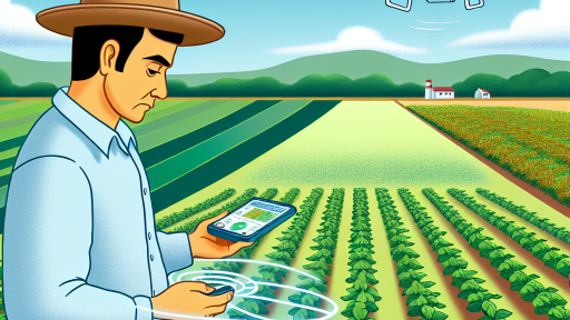
Farmers utilize remote sensing in various applications.
- Crop monitoring helps track growth stages.
- Soil analysis provides insights into nutrient levels.
- Pest and disease detection allows for early interventions.
Challenges and Considerations
Despite its benefits, remote sensing presents challenges.
Data interpretation requires expertise and training.
Moreover, initial costs for technology can be significant.
Farmers must weigh these factors against potential gains.
Benefits of Remote Sensing for Farm Management
Enhanced Crop Monitoring
Remote sensing provides real-time monitoring of crop health.
Transform Your Agribusiness
Unlock your farm's potential with expert advice tailored to your needs. Get actionable steps that drive real results.
Get StartedFarmers can identify stress or disease early.
This proactive approach minimizes losses and boosts yields.
Additionally, it allows for precise management of resources.
Improved Soil Management
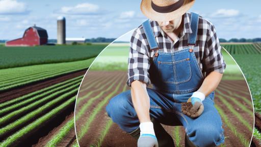
Remote sensing helps in analyzing soil health effectively.
Farmers can assess moisture levels with confidence.
This data informs irrigation and fertilization decisions.
Consequently, it promotes sustainable land use practices.
Efficient Resource Allocation
With remote sensing, farmers optimize input usage.
This leads to cost savings and reduced waste.
Furthermore, technology can enhance labor management practices.
As a result, farms can operate more efficiently.
Supporting Decision-Making
Remote sensing provides actionable insights for farmers.
This information enhances strategic planning for crops.
Farmers can make data-driven decisions about planting schedules.
Moreover, it facilitates timely interventions during growing seasons.
Data Integration and Analysis
Farmers can integrate remote sensing data with other technologies.
This creates a holistic view of farm performance.
Such integration enhances precision agriculture practices.
Consequently, it supports sustainable farming practices.
Risk Management
Remote sensing aids in assessing environmental risks.
Farmers can monitor weather changes effectively.
This foresight allows for timely responses to adverse conditions.
As a result, it reduces the impact of unforeseen challenges.
Types of Remote Sensing Technologies Used in Agriculture
Satellite Imagery
Satellite imagery offers a broad view of agricultural fields.
Showcase Your Farming Business
Publish your professional farming services profile on our blog for a one-time fee of $200 and reach a dedicated audience of farmers and agribusiness owners.
Publish Your ProfileFarmers can use it to monitor crop health effectively.
Additionally, it helps in assessing land usage over time.
Companies like Planet Labs provide high-resolution images.
These images aid in precision farming and yield estimation.
Drone Technology
Drones provide detailed aerial views of specific areas.
This technology allows for real-time monitoring of crops.
Farmers can quickly identify problem spots in their fields.
Companies such as DJI offer drones designed for agriculture.
Drones help assess irrigation needs and pest outbreaks efficiently.
Aerial Photography
Aerial photography captures images from an aircraft.
It gives farmers a different perspective on their fields.
This method helps in visualizing crop patterns and conditions.
Farmers can plan interventions based on aerial photos.
Remote Sensing via Soil Sensors
Soil sensors provide crucial data on soil health.
They measure moisture levels and nutrient content in real-time.
Farmers can make informed decisions based on sensor data.
Companies like CropX manufacture these advanced sensors.
They improve irrigation practices and fertilization strategies.
Multispectral and Hyperspectral Imaging
Multispectral imaging captures data at various wavelengths.
This technology is essential for assessing plant health.
Hyperspectral imaging provides even more detailed analysis.
These imaging techniques reveal crop stress levels accurately.
Farmers can use this information for timely interventions.
Integrating Remote Sensing Technologies
Integrating these technologies enhances farm management practices.
Farmers can collect data from multiple sources seamlessly.
This integration leads to better decision-making over time.
Moreover, it helps optimize resource usage and increase productivity.
Ultimately, remote sensing plays a critical role in modern agriculture.
Explore Further: Improving Livestock Management Through Data
Data Collection Techniques and Their Applications
Introduction to Remote Sensing
Remote sensing involves collecting data from a distance.
This technology uses satellites and aerial imagery.
Farmers utilize it to monitor crop health and land use.
Types of Remote Sensing Technologies
There are various types of remote sensing technologies available.
Passive remote sensing captures natural light reflected from the Earth.
It includes tools like multispectral sensors.
Active remote sensing emits signals and measures their return.
This technology includes radar and LiDAR systems.
Multispectral Imaging
Multispectral imaging captures data across different wavelengths.
This technique helps identify plant diseases early.
Farmers can assess nutrient levels and moisture content.
Showcase Your Farming Business
Publish your professional farming services profile on our blog for a one-time fee of $200 and reach a dedicated audience of farmers and agribusiness owners.
Publish Your ProfileThermal Imaging
Thermal imaging detects temperature variations in crop fields.
This method aids in identifying water stress in plants.
Farmers can optimize irrigation practices based on this data.
LiDAR Technology
LiDAR technology uses laser light to measure distances.
It creates detailed 3D models of landscapes and crops.
This information improves planning and resource management.
Applications in Farm Management
Remote sensing significantly enhances decision-making in agriculture.
Farmers can monitor crop growth over time effectively.
This technology supports precision farming strategies.
Crop Monitoring
Farmers use remote sensing for real-time crop monitoring.
It allows for early detection of pest infestations and diseases.
Timely interventions can significantly boost yield and quality.
Irrigation Management
Efficient irrigation management relies on accurate data.
Remote sensing can determine soil moisture levels across fields.
This approach optimizes water usage, reducing waste.
Yield Prediction
Yield prediction benefits from historical and current remote sensing data.
Farmers can estimate potential harvests based on crop health.
These predictions enable better financial and resource planning.
Future Trends in Remote Sensing
Advancements in technology continue to enhance remote sensing.
Integrating AI and machine learning improves data analysis.
This integration leads to more accurate predictions and insights.
Discover More: How Automated Machinery Enhances Crop Production
Integrating Remote Sensing with Precision Agriculture Practices
Understanding Remote Sensing Technology
Remote sensing technology captures data from a distance using various sensors.
It plays a crucial role in modern farming practices.
This technology provides farmers with critical insights into their fields.
Using satellites or drones, farmers can monitor crop health efficiently.
Remote sensing allows for the analysis of soil conditions without physical contact.
Enhancing Crop Monitoring
Remote sensing improves the accuracy of crop monitoring systems.
Farmers can detect variations in crops and soil moisture levels.
This information helps optimize irrigation practices.
Moreover, it aids in the identification of pest infestations early.
Consequently, timely interventions can increase crop yields significantly.
Precision Fertilization
Remote sensing assists in precision fertilization methods.
Farmers can evaluate nutrient deficiencies across different field zones.
This analysis leads to targeted fertilizer application.
As a result, it minimizes waste and reduces environmental impact.
Additionally, it enhances overall crop quality and productivity.
Disease Detection and Management
Identifying plant diseases through remote sensing improves management strategies.
Sensors can detect stress in plants due to disease long before symptoms appear.
This early detection empowers farmers to act swiftly and efficiently.
Showcase Your Farming Business
Publish your professional farming services profile on our blog for a one-time fee of $200 and reach a dedicated audience of farmers and agribusiness owners.
Publish Your ProfileImplementing control measures promptly can save crops and resources.
Therefore, effective disease management is crucial for sustainable farming.
Optimizing Water Usage
Water conservation is essential in modern agriculture.
Remote sensing helps monitor water stress levels in crops effectively.
Farmers can adjust irrigation schedules based on real-time data.
This ensures that crops receive adequate hydration without overwatering.
By using water more efficiently, they contribute to sustainability.
Data Integration and Decision Making
Integrating remote sensing data with farm management systems enhances decision-making.
Farmers can analyze historical data alongside current observations.
This holistic approach leads to more informed agricultural strategies.
The combination of data sources facilitates precise planning and resource allocation.
Ultimately, it promotes better crop management and profitability.
Explore Further: Smart Vertical Farming Technologies for Agriculture
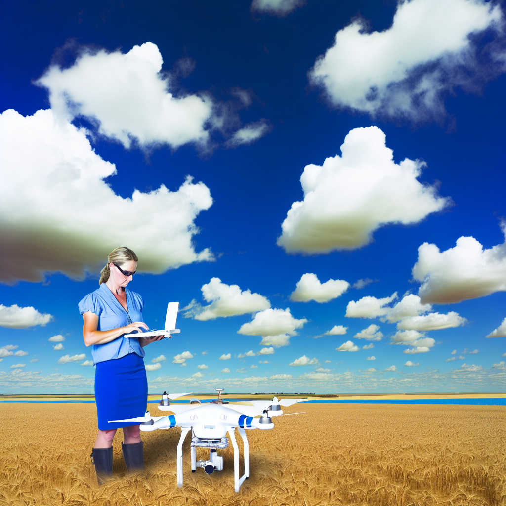
Case Studies: Successful Integration of Remote Sensing in Farms
Precision Agriculture in Corn Farming
In recent years, farmers have embraced precision agriculture technology.
For instance, Maple Leaf Farms uses drones for crop monitoring.
These drones capture high-resolution images of corn fields.
As a result, farmers can detect issues such as nutrient deficiencies.
They adjust fertilizer applications based on these insights.
This practice has improved their yields significantly.
Additionally, it has maximized their resource efficiency.
Remote Sensing for Water Management
Aquafarm Innovations demonstrates effective water management using remote sensing.
They employ satellite imagery to monitor soil moisture levels.
This data helps farmers determine watering needs precisely.
Consequently, they have reduced water usage by 30%.
Moreover, this approach prevents over-irrigation and soil erosion.
Farmers experience both cost savings and sustainable practices.
Mapping Pest Infestations
Green Valley Growers has integrated remote sensing to combat pests.
They utilize multispectral imagery to identify areas of infestation.
This enables targeted pesticide applications.
Consequently, they reduce chemical usage while protecting crops.
Farmers have reported higher crop quality and lower costs.
This method demonstrates a balance between productivity and sustainability.
Yield Prediction and Analytics
Sunny Ridge Orchard has successfully used remote sensing for yield prediction.
They analyze historical data alongside current satellite images.
This integrated approach allows for accurate forecasts of fruit production.
In turn, this data improves marketing strategies and logistics planning.
Farmers have appreciated the ability to plan effectively for harvest.
Improved predictions have led to higher profitability overall.
You Might Also Like: Understanding Automated Machinery in Agriculture
Challenges and Limitations of Remote Sensing in Farm Management
Data Integrity and Accuracy
Data accuracy poses a significant challenge in remote sensing.
Showcase Your Farming Business
Publish your professional farming services profile on our blog for a one-time fee of $200 and reach a dedicated audience of farmers and agribusiness owners.
Publish Your ProfileInaccurate data can lead to poor decision-making.
Factors like atmospheric conditions can affect data integrity.
Additionally, sensor calibration must be consistent for reliable results.
Technology Accessibility and Costs
Accessing remote sensing technology can be costly for many farmers.
High initial investments may discourage small-scale producers.
Furthermore, ongoing maintenance adds to the financial burden.
Many farmers may lack the necessary technical skills to utilize these technologies effectively.
Interpretation of Data
Interpreting remote sensing data requires specialized knowledge and training.
Farmers may struggle to translate data into actionable insights.
Additionally, the sheer volume of data generated can overwhelm producers.
Consequently, inadequate interpretation may lead to incorrect farming strategies.
Regulatory and Privacy Issues
Remote sensing technologies face numerous regulatory challenges.
Farmers must navigate complex legal landscapes regarding data usage.
Privacy concerns can arise when mapping agricultural lands.
These issues can create barriers to the adoption of remote sensing technologies.
Environmental Variability
Environmental factors can hinder the effectiveness of remote sensing.
Different crops and soils respond variably to remote sensing technologies.
Furthermore, climate variations can affect data consistency across seasons.
This variability poses challenges in developing standardized applications for farm management.
Future Trends and Innovations in Remote Sensing for Agriculture
Advancements in Technology
Recent advancements in sensor technology are reshaping agriculture.
Farmers now utilize drones equipped with high-resolution cameras.
This technology provides detailed aerial views of fields.
Consequently, farmers can monitor crop health more effectively.
Additionally, satellite imagery offers insights into large agricultural areas.
These innovations enhance precision agriculture practices.
Data Analytics and Machine Learning
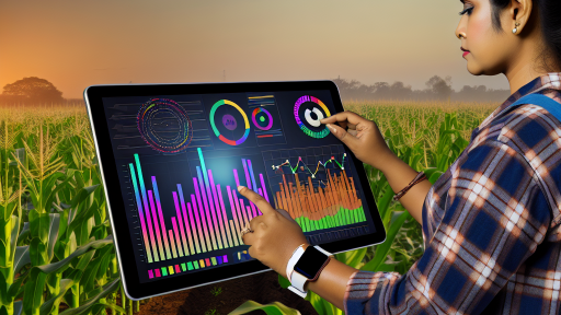
Data analytics plays a crucial role in modern remote sensing.
Machine learning algorithms analyze vast datasets rapidly.
This analysis identifies patterns that improve decision-making.
Farmers can apply predictive analytics to forecast crop yields.
Moreover, these techniques help optimize irrigation and fertilization.
As a result, farmers achieve better resource management.
Integration with Internet of Things (IoT)
The integration of remote sensing and IoT is revolutionary.
Smart sensors collect real-time data from fields.
This data feeds directly into farm management systems.
Farmers gain immediate insights into environmental conditions.
Consequently, they can make quick adjustments to farming practices.
This synergy enhances efficiency and reduces waste.
Sustainability and Environmental Monitoring
Remote sensing technology encourages sustainable practices.
Farmers can monitor soil health and moisture levels accurately.
This monitoring helps in maintaining ecological balance.
Showcase Your Farming Business
Publish your professional farming services profile on our blog for a one-time fee of $200 and reach a dedicated audience of farmers and agribusiness owners.
Publish Your ProfileFurthermore, remote sensing supports biodiversity through habitat mapping.
Farmers can assess the impact of their practices on local ecosystems.
Ultimately, this approach promotes environmentally friendly farming.
Future Research Directions
Ongoing research aims to improve remote sensing techniques further.
Scientists are exploring multispectral and hyperspectral imaging.
These methods offer deeper insights into plant health.
Additionally, researchers are developing more cost-effective sensors.
This accessibility will revolutionize farming for smallholders.
Future trends will emphasize integrating artificial intelligence with remote sensing data.
Additional Resources
Vivek Sharma – UF/IFAS Agricultural and Biological Engineering …
Enhancing precision agriculture: A comprehensive review of …

