Introduction to Precision Farming and Its Importance
Understanding Precision Farming
Precision farming optimizes field-level management regarding crop farming.
It integrates new technologies to monitor and manage agricultural resources.
Farmers use it to improve yields and reduce environmental impact.
This approach relies heavily on data-driven decisions.
Benefits of Precision Farming
One significant benefit is the increase in crop productivity.
Farmers can achieve better yield through precise resource application.
Additionally, this method reduces waste and lowers input costs.
It also enhances soil health by applying nutrients only where needed.
Role of Remote Sensing Data
Remote sensing plays a crucial role in precision farming.
This technology helps in the real-time assessment of field conditions.
Farmers utilize satellite imagery for crop monitoring.
Moreover, it aids in identifying variations within fields.
Consequently, farmers make informed decisions on resource allocation.
Future of Precision Farming
The future of agriculture leans towards innovative technologies.
Precision farming is set to revolutionize traditional practices.
Transform Your Agribusiness
Unlock your farm's potential with expert advice tailored to your needs. Get actionable steps that drive real results.
Get StartedAs technology evolves, data analytics will become even more sophisticated.
Farmers will increasingly rely on automated solutions for efficiency.
This shift will foster sustainable growth in agriculture.
Overview of Remote Sensing Technologies in Agriculture
Introduction to Remote Sensing
Remote sensing involves collecting data from a distance using satellites or aircraft.
This technology allows farmers to monitor large areas of land efficiently.
It provides essential information about crop health and soil conditions.
Types of Remote Sensing Technologies
Several types of remote sensing technologies are prevalent in agriculture.
Satellite imagery is one of the most commonly used methods.
It captures images from space, giving farmers a broad view of their fields.
Additionally, drones are gaining popularity for detailed monitoring.
They can fly lower and provide high-resolution images for analysis.
Applications of Remote Sensing in Farming
Farmers leverage remote sensing data for various applications.
One prominent use is precision agriculture, optimizing inputs like water and fertilizers.
This approach enhances yield while minimizing waste and environmental impact.
Furthermore, remote sensing aids in crop health assessment.
Farmers can detect stress or disease early, enabling timely interventions.
Benefits of Remote Sensing Technologies
Remote sensing technologies offer numerous benefits to modern agriculture.
- They provide real-time data for informed decision-making.
- Farmers can increase their productivity and resource efficiency.
- These technologies help in reducing costs associated with farming inputs.
Challenges and Considerations
Despite their advantages, remote sensing technologies face challenges.
Data interpretation requires expertise and training.
Moreover, the initial setup costs can be a barrier for small-scale farmers.
Additionally, weather conditions can affect data quality.
Future Trends in Remote Sensing for Agriculture
The future of remote sensing in agriculture looks promising.
Advancements in technology will improve data accuracy and availability.
Integration with artificial intelligence will enhance predictive capabilities.
Showcase Your Farming Business
Publish your professional farming services profile on our blog for a one-time fee of $200 and reach a dedicated audience of farmers and agribusiness owners.
Publish Your ProfileAs a result, farmers will make even more precise management decisions.
Remote sensing is set to revolutionize the agricultural landscape.
Types of Remote Sensing Data Used in Precision Farming
Overview of Remote Sensing in Agriculture
Remote sensing collects data from a distance to monitor agriculture effectively.
Farmers utilize this technology for enhanced decision-making and productivity.
Satellite Imagery
Satellite imagery provides a broad view of agricultural fields.
This type of data captures various wavelengths of light.
Farmers analyze these images for crop health and land use patterns.
Multispectral Imagery
Multispectral imagery captures data across multiple spectral bands.
This enables farmers to monitor plant health closely.
They can identify nutrient deficiencies and stress levels quickly.
Hyperspectral Imagery
Hyperspectral imagery offers even more detailed spectral information.
It helps in identifying specific crop types and conditions.
This data is vital for precision agriculture applications.
Drone-based Remote Sensing
Drones provide high-resolution images of farms.
They enable farmers to cover their fields quickly and efficiently.
Additionally, drones offer real-time data collection capabilities.
Vegetation Indices
Farmers use vegetation indices derived from drone data.
These indices help assess plant health and growth stages.
Consequently, farmers can make informed management decisions.
3D Mapping
Drones also create 3D maps of the agricultural landscape.
This mapping assists with terrain analysis and water flow modeling.
Such information improves land management practices.
Ground-based Sensors
Ground-based sensors collect specific data about soil and crops.
These sensors measure moisture levels and nutrient content.
Farmers can use this data to optimize irrigation and fertilization.
Soil Moisture Sensors
Soil moisture sensors provide real-time moisture readings.
Farmers can adjust irrigation schedules based on these readings.
As a result, they conserve water and enhance crop yields.
Temperature Sensors
Temperature sensors monitor ambient and soil temperatures.
This data is crucial for understanding crop development stages.
Farmers can protect against frost and other temperature-related issues.
Combining Data for Optimal Results
Integrating different types of remote sensing data enhances farming strategies.
This combination allows for comprehensive analysis of field conditions.
Farmers can implement precision farming techniques effectively.
Gain More Insights: How Sensors Improve Crop Yields and Efficiency
Benefits of Using Remote Sensing Data for Crop Management
Enhanced Crop Monitoring
Remote sensing technology offers precise monitoring of crop health.
This technique uses satellites and drones equipped with sensors.
Thus, farmers can detect issues early, such as diseases or nutrient deficiencies.
As a result, they can take timely action to address these problems.
Improved Yield Estimation
Accurate yield estimation is crucial for effective resource management.
Showcase Your Farming Business
Publish your professional farming services profile on our blog for a one-time fee of $200 and reach a dedicated audience of farmers and agribusiness owners.
Publish Your ProfileRemote sensing provides data on crop growth stages and biomass density.
Consequently, farmers can predict harvests accurately.
This predictive capability allows for better planning and financial decisions.
Efficient Resource Management
Farmers can optimize inputs like water, fertilizers, and pesticides.
Remote sensing helps identify areas that require specific treatments.
This targeted approach reduces waste and lowers operating costs.
In turn, it promotes environmentally sustainable farming practices.
Early Detection of Pests and Diseases
Remote sensing can identify pest outbreaks before they spread.
By analyzing data trends, farmers gain insights into pest behavior.
This early detection enables swift and effective control measures.
Ultimately, it minimizes crop loss and protects yields.
Precision Irrigation
Remote sensing enhances the efficiency of irrigation systems.
Farmers can monitor soil moisture levels across large fields.
This data-driven approach reduces water usage significantly.
Moreover, it ensures crops receive the right amount of water.
Timely Decision-Making
Access to satellite data supports quick and informed decision-making.
Farmers can react swiftly to changing weather conditions.
This agility is crucial for maximizing productivity.
Additionally, it allows farmers to adjust strategies in real-time.
Learn More: Remote Sensing for Effective Pest Management
Case Studies: Successful Implementations of Remote Sensing in Agriculture
Enhancing Crop Health with Satellite Imagery
Farmers in California adopted satellite imagery to monitor crop health.
This technology enabled them to identify stressed areas promptly.
Consequently, they applied targeted interventions, enhancing yields.
Additionally, using remote sensing reduced fertilizer costs significantly.
The results showed a marked improvement in the overall crop quality.
Water Management in Precision Farming
In Texas, farmers employed remote sensing for efficient water management.
They utilized aerial imagery to assess soil moisture levels effectively.
This assessment allowed for precise irrigation scheduling.
As a result, water consumption decreased while crop outputs increased.
Furthermore, monitoring fields from above improved irrigation planning.
Optimizing Pest Control Strategies
Agriculturalists in Florida used remote sensing to optimize pest control.
They detected pest infestations earlier than traditional methods allowed.
This early detection enabled timely pesticide application.
Ultimately, farmers experienced less crop damage due to pests.
In addition, this approach minimized pesticide use, benefiting the environment.
Data Integration for Sustainable Practices
Farmers in Iowa integrated remote sensing data with agronomic practices.
They combined satellite data with on-the-ground sensors for precision insights.
This integration allowed for comprehensive monitoring of crop health.
Farmers reported improved decision-making and resource allocation.
The adoption of this technology resulted in sustainable farming practices.
Showcase Your Farming Business
Publish your professional farming services profile on our blog for a one-time fee of $200 and reach a dedicated audience of farmers and agribusiness owners.
Publish Your ProfileMonitoring Forest Resources
In Oregon, remote sensing aided in monitoring forest resources.
Foresters utilized aerial data to track tree growth and health.
This monitoring facilitated sustainable logging practices over time.
Moreover, it helped identify areas needing conservation efforts rapidly.
As a result, the forest’s ecological health improved substantially.
Explore Further: Implementing Smart Irrigation on Your Farm
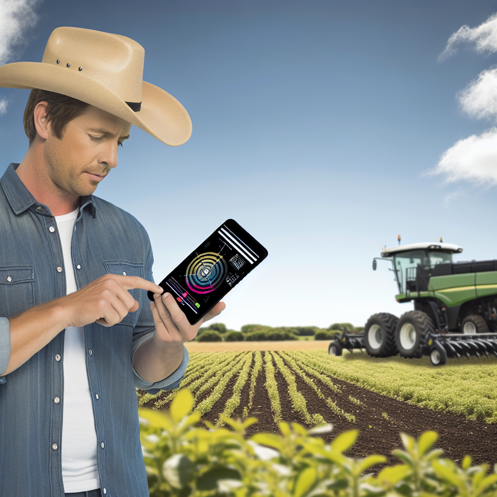
Challenges and Limitations of Remote Sensing in Farming Practices
Data Accuracy and Resolution
Data accuracy is a significant concern in remote sensing for agriculture.
Inaccurate data can lead to misguided farming decisions.
High-resolution data is often expensive and not universally accessible.
Farmers may struggle to obtain resolution that meets their specific needs.
Environmental Variability
Environmental factors can significantly affect remote sensing effectiveness.
Variability in soil types can lead to inconsistent data interpretation.
Weather conditions may also hinder data collection processes.
For instance, cloud cover can obscure satellite imagery.
Integration with Existing Practices
Integrating remote sensing data with traditional farming practices poses challenges.
Farmers often find it difficult to adopt new technologies.
There may be a lack of training on how to interpret remote sensing data.
Additionally, compatibility with existing systems can be problematic.
High Initial Costs
The initial costs of adopting remote sensing technologies can be prohibitive.
Small-scale farmers may find it difficult to justify these expenses.
Financial aid and incentives are often necessary to encourage adoption.
Without support, many farmers might avoid advanced technologies.
Knowledge Gaps and Skill Shortages
Many farmers lack the necessary knowledge to utilize remote sensing effectively.
Training programs are essential to bridge these knowledge gaps.
Additionally, there is often a shortage of specialists capable of analyzing the data.
These skill shortages hinder the full potential of remote sensing in agriculture.
Data Overload
Farmers can easily become overwhelmed by the volume of data generated.
Understanding which data points to prioritize is critical for effective decision-making.
Without clear guidance, useful insights may be lost amidst the noise.
Therefore, streamlined data analysis tools are essential.
See Related Content: Precision Agriculture for Sustainable Farming Practices
Future Trends in Precision Farming and Remote Sensing Innovations
Integration of Artificial Intelligence
Artificial Intelligence (AI) is set to revolutionize precision farming.
Farmers will harness AI to process vast amounts of remote sensing data.
This technology will enable real-time decision-making and predictive analytics.
Moreover, machine learning algorithms will enhance crop monitoring and yield prediction.
Advancements in Drone Technology
Drones are becoming essential tools in modern agriculture.
Farmers will use drones to gather high-resolution aerial imagery.
This imagery provides insights into crop health and soil conditions.
Additionally, drones offer efficient options for precision spraying and planting.
Improved Sensor Technology
Sensors are evolving, creating new opportunities for data collection.
Showcase Your Farming Business
Publish your professional farming services profile on our blog for a one-time fee of $200 and reach a dedicated audience of farmers and agribusiness owners.
Publish Your ProfileSoil moisture sensors will offer farmers critical information about irrigation needs.
Moreover, multispectral sensors will assess plant health more accurately.
Integrating these sensors with data analytics platforms will optimize farming practices.
Utilization of Blockchain Technology
Integrating blockchain can enhance transparency in agriculture.
This technology ensures traceability of products from farm to table.
Farmers will benefit from improved supply chain management through blockchain.
Furthermore, it can facilitate smarter contracts and payment systems.
Adoption of Sustainable Practices
Sustainable farming practices are gaining traction worldwide.
Farmers will leverage remote sensing to monitor resource usage effectively.
These practices will reduce environmental impact and promote biodiversity.
Additionally, adopting renewable energy sources in precision farming is becoming more common.
Enhanced Data Sharing and Collaboration
Collaboration among farmers, tech companies, and researchers is increasing.
This partnership enhances data sharing and collective insights.
Consequently, farmers can make more informed decisions using shared knowledge.
Moreover, open-source platforms will foster innovation and accessibility.
Best Practices for Integrating Remote Sensing Data into Farm Operations
Understanding Remote Sensing Data
Remote sensing data provides valuable insights into farm conditions.
This data collection comes from satellites and drones in the field.
Farmers can monitor crops and soil moisture with greater accuracy.
Thus, they can make informed decisions for better yields.
Assessing Data Quality
First, ensure the data source is reliable and accurate.
Use high-resolution imagery to capture detailed farm information.
Next, validate the data against ground-truth measurements.
This practice helps enhance data credibility and trustworthiness.
Implementing Data Analysis Tools
Select appropriate software for analyzing remote sensing data.
Look for tools that offer user-friendly interfaces.
Additionally, consider platforms that integrate with existing farm management systems.
By doing so, farmers can streamline their workflows and save time.
Training and Knowledge Sharing
Provide training for staff on data interpretation and usage.
Host workshops to build a shared understanding of remote sensing benefits.
Encourage collaboration among team members to enhance data utilization.
This collaborative approach fosters a data-driven culture on the farm.
Regularly Updating Practices
Stay informed about advancements in remote sensing technologies.
Regularly assess the effectiveness of current practices.
Seek feedback from team members to identify areas of improvement.
Embrace new methods as they become available to ensure continued progress.
Evaluating Economic Benefits
Analyze the cost-effectiveness of integrating remote sensing data.
Measure improvements in yield and resource management over time.
Calculate return on investment to assess economic viability.
This evaluation aids in justifying the implementation of new technologies.
Additional Resources
Leveraging precision agriculture techniques using UAVs and …
Showcase Your Farming Business
Publish your professional farming services profile on our blog for a one-time fee of $200 and reach a dedicated audience of farmers and agribusiness owners.
Publish Your ProfileThe Future of Farming: Producer Perspectives on Agriculture Data …

