Introduction to Precision Farming and its Importance
Precision farming enhances agricultural productivity through data-driven decisions.
This approach integrates technology into farming practices.
Farmers can optimize resources like water and fertilizers using real-time data.
As a result, they significantly reduce waste and increase yields.
Moreover, precision farming promotes sustainability in agricultural practices.
By monitoring crop health and soil conditions, farmers can apply targeted interventions.
Consequently, they reduce the use of harmful chemicals.
Furthermore, this method helps farmers adapt to climate change challenges.
Utilizing data analytics enables predictive modeling of crop conditions.
Therefore, farmers are better equipped to face unpredictable weather patterns.
In addition, precision farming contributes to economic viability.
Efficient practices lead to cost savings and increased profits.
Ultimately, precision farming addresses the demands of a growing global population.
This ensures that food production keeps pace with consumption trends.
In summary, precision farming is pivotal for the future of agriculture.
Transform Your Agribusiness
Unlock your farm's potential with expert advice tailored to your needs. Get actionable steps that drive real results.
Get StartedIt combines technology and sustainable practices for better outcomes.
Overview of Satellite Imagery Technologies Used in Agriculture
Introduction to Satellite Imagery
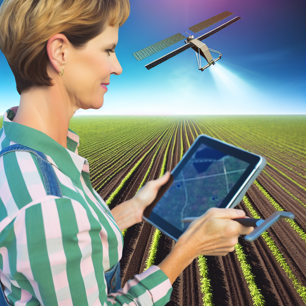
Satellite imagery has transformed modern agriculture.
This technology captures high-resolution images of the Earth’s surface.
Farmers utilize these images to enhance crop management techniques.
Consequently, satellite imagery supports sustainable farming practices.
Types of Satellite Imagery
Several types of satellite imagery exist for agricultural applications.
Optical imagery provides detailed images using sunlight.
This type is useful for assessing crop health.
On the other hand, multispectral imagery captures data across multiple wavelengths.
It offers actionable insights for water stress and nutrient management.
Applications of Satellite Imagery in Precision Farming
Farmers apply satellite imagery in numerous ways.
- Monitoring crop health is a primary application.
- Farmers can detect diseases early using satellite data.
- Additionally, this technology assists in yield prediction.
- Farmers optimize irrigation practices based on imagery analysis.
Moreover, understanding soil properties becomes easier with satellite analysis.
Benefits of Utilizing Satellite Imagery
The benefits of satellite imagery for farmers are significant.
First, it provides accurate information across large areas.
This accuracy reduces input costs for agriculture.
Second, timely data allows farmers to make quick decisions.
This responsiveness can lead to improved crop yields.
Lastly, enhanced data leads to better resource management.
Challenges in Implementing Satellite Imagery
Despite its advantages, satellite imagery has challenges.
Data interpretation can be complex and requires skilled personnel.
Furthermore, high-resolution imagery often comes at a cost.
Consequently, small-scale farmers may struggle to access these technologies.
Lastly, compliance with local regulations can be a hurdle.
Benefits of Using Satellite Imagery for Crop Monitoring
Enhanced Crop Health Monitoring
Satellite imagery provides real-time data on crop health.
Showcase Your Farming Business
Publish your professional farming services profile on our blog for a one-time fee of $200 and reach a dedicated audience of farmers and agribusiness owners.
Publish Your ProfileThis technology identifies areas of stress before visible signs appear.
Consequently, farmers can address issues promptly and reduce losses.
Additionally, imagery helps monitor soil moisture levels effectively.
Farmers can optimize irrigation decisions based on accurate data.
Improved Yield Predictions
Satellite data supports more reliable yield forecasting.
By analyzing growth patterns, farmers can estimate harvests accurately.
This information aids in better market planning and logistics.
Farmers can also make informed decisions on resource allocation.
Efficient Resource Management
Utilizing satellite imagery allows farmers to optimize inputs.
This approach reduces waste and lowers production costs.
Farmers can monitor fertilizer and pesticide usage more effectively.
As a result, they minimize environmental impacts while maximizing efficiency.
Data-Driven Decision Making
Satellite imagery enhances strategic planning on farms.
Farmers can analyze historical data trends for better decision-making.
Moreover, integrating this data with local weather forecasts provides insights.
This synergy improves overall farm management practices.
Increased Sustainability
Satellite imagery supports sustainable farming practices.
It enables farmers to monitor crop rotation and biodiversity efforts.
This technology promotes responsible land use and conservation.
As a result, farms can achieve higher productivity with less environmental degradation.
Delve into the Subject: Data-Driven Farming: Utilizing Crop Sensors Effectively
Analyzing Soil Health and Nutrient Levels through Satellite Data
The Role of Satellite Imagery in Agriculture
Satellite imagery plays a crucial role in modern agriculture.
It provides real-time data on various environmental factors.
Farmers utilize this data to optimize their farming practices.
Identifying Soil Health
Healthy soil is vital for successful crop production.
Farmers can analyze satellite images to assess soil conditions.
This analysis helps identify areas needing attention.
Indicators of Soil Health
Several indicators reveal the health of the soil.
- Soil color indicates organic matter content.
- Texture reveals compaction levels.
- Moisture content influences growth patterns.
Measuring Nutrient Levels
Satellite data helps in quantifying soil nutrient levels.
High-resolution images allow for targeted nutrient management.
Farmers analyze nitrogen, phosphorus, and potassium availability.
Benefits of Nutrient Analysis
Understanding nutrient levels provides multiple advantages.
- It enhances crop yield through better management.
- It reduces costs by optimizing fertilizer usage.
- It minimizes environmental impact through precise applications.
Integrating Satellite Data into Farming Practices
Farmers must integrate satellite data into their farming strategies.
This integration allows for timely interventions in crop management.
Leveraging technology improves decision-making at all levels.
Technology Adoption
Many farmers are now adopting technology for enhanced productivity.
Examples include drones and satellite imagery analysis tools.
This trend reflects a growing commitment to precision farming.
Uncover the Details: Innovations in Vertical Farming for Modern Farmers
Integrating Satellite Imagery with Other Data Sources
Overview of Data Integration
Data integration enhances the efficiency of precision farming.
Showcase Your Farming Business
Publish your professional farming services profile on our blog for a one-time fee of $200 and reach a dedicated audience of farmers and agribusiness owners.
Publish Your ProfileIt combines satellite imagery with various data sources.
These data sources include weather patterns, soil conditions, and IoT devices.
Through integration, farmers gain a comprehensive understanding of their fields.
Benefits of Combining Data Sources
Combining satellite imagery with weather data improves decision-making.
Farmers can plan for planting based on rainfall forecasts.
This approach minimizes the risks associated with unpredictable weather.
Additionally, integrating IoT device data allows for real-time monitoring.
Farmers can track soil moisture and nutrient levels remotely.
Satellite Imagery and IoT Integration
The integration of satellite imagery and IoT devices is revolutionary.
This combination enables precise irrigation management.
Farmers can optimize water usage based on immediate field conditions.
Also, it enhances pest monitoring by analyzing crop health from various angles.
This proactive approach reduces pesticide use and promotes sustainability.
Utilizing Weather Data
Weather data is crucial for effective crop management.
Satellite imagery captures changes in crop health over time.
By correlating this imagery with weather data, farmers can predict outcomes.
For example, they can identify drought-stressed areas early.
This allows for timely interventions, such as targeted irrigation.
Implementing Data Management Systems
A robust data management system is essential for integration.
Farmers need tools that can process and analyze complex data streams.
These systems should store satellite imagery alongside IoT and weather data.
Consequently, they provide actionable insights tailored to local conditions.
Investing in technology equips farmers for the future of agriculture.
See Related Content: Maintenance Tips For Farm Robotics

Case Studies: Successful Implementations of Satellite Imagery in Farming
Utilization by GreenEarth Farms
GreenEarth Farms leveraged satellite imagery to monitor crop health effectively.
This technology provided high-resolution images for precise assessment.
Farmers adjusted irrigation schedules based on satellite data.
As a result, they improved water conservation significantly.
Moreover, yield increased by 15% in the first year of implementation.
Application at SkyView Agriculture
SkyView Agriculture integrated satellite imagery into their pest management program.
The imagery allowed them to identify pest outbreaks early.
Consequently, they targeted pesticide application to affected areas only.
This strategy reduced chemical usage by 20% annually.
Ultimately, it led to a healthier ecosystem on their farms.
Success Story of CropTech Solutions
CropTech Solutions utilized satellite imagery for precision planting.
They analyzed soil health variations across fields via satellite data.
Then, this information guided their planting decisions and crop selection.
As a result, the company reported a decrease in input costs by 10%.
This approach also enhanced natural resource management practices.
Partnership with AgriTrak
AgriTrak partnered with local farmers to implement satellite imagery.
Showcase Your Farming Business
Publish your professional farming services profile on our blog for a one-time fee of $200 and reach a dedicated audience of farmers and agribusiness owners.
Publish Your ProfileThey provided training on interpreting satellite data for better decision-making.
This collaboration enhanced crop management practices across several regions.
Farmers reported improved crop rotation schedules based on insights.
Consequently, soil fertility and sustainability experienced marked improvements.
Outcomes and Future Direction
The case studies highlighted the transformative potential of satellite imagery.
They demonstrated tangible benefits for modern agriculture.
Looking ahead, more farmers are expected to adopt this technology.
Its integration will enhance efficiency and sustainability in farming practices.
You Might Also Like: Automated Machinery Solutions for Small Farmers
Challenges and Limitations of Satellite Imagery in Agriculture
Data Resolution and Accuracy
Satellite imagery often suffers from limited resolution.
The pixel size may not capture fine details in agricultural fields.
Consequently, farmers might overlook small issues.
Moreover, inaccuracies in crop classification can occur.
These inaccuracies can lead to misguided management decisions.
Atmospheric Interference
Atmospheric conditions can disrupt satellite image quality.
Cloud cover, haze, and fog often obscure visibility.
This limitation affects the reliability of data collected.
Consequently, critical information may be lost during key periods.
Data Processing Requirements
Processing satellite imagery demands significant computational resources.
Farmers often lack access to the necessary technology.
Additionally, the analysis can be time-consuming and complex.
This complexity may deter many from effectively using the data.
Cost Implications
Accessing high-quality satellite imagery can be expensive.
Many smaller farming operations struggle to afford these costs.
As a result, they may miss out on important insights.
Furthermore, ongoing operational expenses can be a burden.
Integration with Other Data Sources
Integrating satellite imagery with other data can be challenging.
Farmers must combine various datasets for effective analysis.
This integration is often complex due to different formats.
Without proper tools, critical trends may go unnoticed.
Technology Adaptation
Farmers may face difficulties adapting to new technologies.
This challenge hampers the effective use of satellite imagery.
Training and education are vital for overcoming these barriers.
However, resources for such training can be limited.
Future Trends: Innovations in Satellite Technology for Precision Farming
Advancements in Satellite Resolution
Today’s satellites now provide stunningly high-resolution images.
This technology allows farmers to monitor their crops closely.
High-resolution imagery helps identify specific areas of concern.
Consequently, farmers can apply targeted interventions swiftly.
Integration with IoT Devices
Next-generation satellites work seamlessly with IoT devices.
This integration enables real-time monitoring of field conditions.
Showcase Your Farming Business
Publish your professional farming services profile on our blog for a one-time fee of $200 and reach a dedicated audience of farmers and agribusiness owners.
Publish Your ProfileFarmers can collect data on soil moisture levels and temperature.
Thus, they make informed decisions about irrigation and fertilization.
Improved Data Analytics
Satellite imagery now undergoes sophisticated data analysis.
Advanced algorithms process large volumes of agricultural data.
Farmers receive actionable insights from this analysis.
For instance, they can better predict crop yields and identify pests.
Utilization of Drones
Drones are increasingly deployed in conjunction with satellites.
They offer localized scouting and detailed aerial views of fields.
Farmers can quickly respond to identified issues in a timely manner.
Combining satellite imagery and drones enhances overall monitoring.
Predictive Modeling Techniques
Innovations include predictive modeling based on satellite data.
These models forecast weather conditions and crop health.
Farmers benefit from knowing when to plant and harvest effectively.
Moreover, predictive insights lead to more efficient resource use.
Increased Accessibility of Satellite Data
More satellite data is becoming readily available to farmers.
This democratization of data empowers smallholder farmers.
Farmers can utilize low-cost satellite imagery solutions.
As a result, they have access to technology previously reserved for large-scale operations.
Sustainability and Environmental Monitoring
Satellites play a critical role in environmental monitoring.
They track land use changes and assess environmental health.
This data assists in promoting sustainable farming practices.
Farmers can minimize environmental impact with informed decisions.
Additional Resources
Leveraging automation and digitalization for precision agriculture …
Precision Agriculture Imaging with Planet Satellite Solutions | Planet


