Introduction to GPS and GIS Technologies in Agriculture
GPS and GIS technologies revolutionize modern agriculture.
These tools enhance precision and efficiency on farms.
Farmers utilize GPS for accurate field mapping and navigation.
This technology helps in pinpointing specific locations.
Consequently, crop planning becomes more informed and effective.
On the other hand, GIS organizes and analyzes geographical data.
This integration improves decision-making regarding resource allocation.
Farmers can visualize data trends over time and space.
For example, they can track soil health across various plots.
Moreover, GIS allows for better management of water resources.
It helps farmers identify areas requiring irrigation.
The combination of GPS and GIS supports sustainable practices.
These technologies foster a more environmentally friendly approach.
In addition, they increase yield potential while reducing waste.
As a result, farmers can adapt to changing climatic conditions.
Transform Your Agribusiness
Unlock your farm's potential with expert advice tailored to your needs. Get actionable steps that drive real results.
Get StartedOverall, embracing these technologies will enhance agricultural productivity.
Farmers who integrate GPS and GIS stand to gain a competitive edge.
The future of agriculture hinges on such technological advancements.
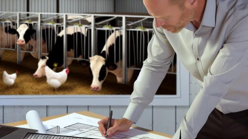
The Role of GPS in Field Mapping and Planning
Understanding GPS Technology
Global Positioning System (GPS) technology plays a vital role in modern agriculture.
This satellite-based navigation system allows farmers to pinpoint exact locations.
Furthermore, GPS enhances accuracy in field mapping and planning.
Enhancing Field Mapping
GPS technology improves field mapping by providing precise coordinates.
Farmers can create detailed maps of their fields for better management.
These maps help identify variations in soil types and crop needs.
As a result, farmers can make informed decisions about planting and fertilization.
Effective Field Planning
Effective field planning is essential for maximizing crop yield.
GPS enables farmers to plan planting schedules based on accurate location data.
This data helps in determining the best times for irrigation and harvesting.
Consequently, farmers can optimize their operations and resources.
Precision Agriculture Benefits
The integration of GPS in agriculture brings numerous benefits.
- Enhanced productivity through targeted field analysis.
- Reduced input costs by optimizing resource use.
- Improved crop health via data-driven decisions.
Ultimately, GPS contributes to the sustainability of farming practices.
Real-World Applications
Farmers implement GPS technology in various ways.
One common application is in precision planting techniques.
Additionally, GPS assists in routing machinery efficiently across fields.
More importantly, it helps track field conditions over time, ensuring better management.
The Future of GPS in Agriculture
The future of agriculture relies heavily on evolving GPS technology.
Advancements in this field promise even greater precision and efficiency.
Innovations such as real-time data analytics can revolutionize farming.
Farmers who adopt these technologies will likely see enhanced productivity.
Showcase Your Farming Business
Publish your professional farming services profile on our blog for a one-time fee of $200 and reach a dedicated audience of farmers and agribusiness owners.
Publish Your ProfileUnderstanding GIS for Data Collection and Analysis in Farming
Introduction to GIS Technology
Geographic Information Systems (GIS) play a crucial role in modern farming.
This technology collects and analyzes spatial data for agricultural practices.
Farmers now have access to vital information about soil and crop conditions.
GIS enhances decision-making and resource management in agriculture.
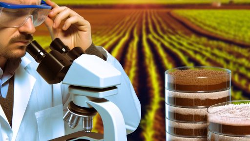
Data Collection Methods
Farmers use various methods to gather data for GIS analysis.
Remote sensing is a powerful tool for monitoring crop health from above.
Additionally, soil sampling provides essential insights into ground conditions.
Drones can also capture high-resolution images for detailed analysis.
Benefits of GIS in Agriculture
GIS improves efficiency and productivity in farming operations.
Farmers can identify patterns in different fields over time.
This information allows for targeted interventions to improve yields.
Moreover, GIS aids in managing resources more sustainably.
Water usage can be optimized, reducing waste and costs.
Analyzing Spatial Data
GIS enables detailed analysis of spatial data collected from various sources.
This includes mapping crop yields to understand performance geographically.
Farmers can visualize data trends over time, enhancing decision-making.
Furthermore, risk assessments allow farmers to predict and mitigate potential issues.
Case Studies and Real-World Applications
Many farms are successfully implementing GIS technology today.
For example, Green Valley Farms uses GIS to optimize irrigation schedules.
Similarly, FreshHarvest employs GIS for precision planting and crop management.
These case studies illustrate tangible benefits in efficiency and crop yield.
The Future of GIS in Farming
The future of GIS technology in agriculture looks promising.
Advancements will lead to more precise and user-friendly applications.
As technology evolves, farms will become more data-driven.
Ultimately, this will improve sustainability and profitability across the industry.
Gain More Insights: Organic Farming Market Trends and Consumer Demand in the USA
Integration of GPS and GIS for Precision Agriculture Practices
Understanding GPS Technology
Global Positioning System (GPS) provides accurate location information.
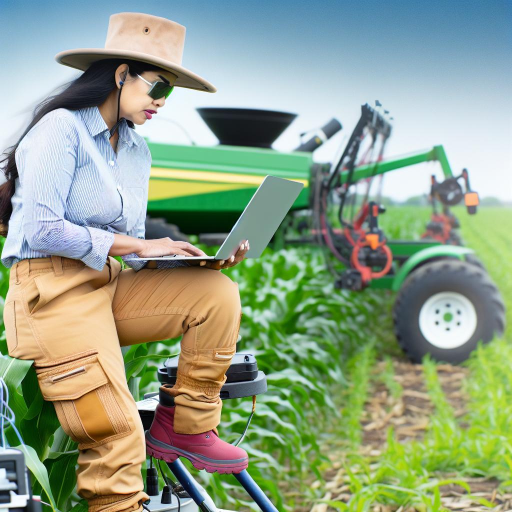
Farmers use GPS for mapping and tracking their fields.
It enables precise navigation for agricultural equipment.
This technology increases operational efficiency significantly.
The Role of GIS Technology
Geographic Information Systems (GIS) manage spatial data effectively.
Farmers utilize GIS for analyzing soil and crop data.
This analysis guides decision-making in crop management.
GIS aids in identifying variable field conditions quickly.
Combining GPS and GIS
Integrating GPS with GIS creates powerful mapping tools.
These tools help farmers optimize resource usage.
Farmers can apply inputs like water and fertilizers more efficiently.
This integration leads to reduced waste and increased yields.
Precision Farming Techniques
Precision agriculture involves targeted farming practices.
GPS-enabled equipment can apply inputs precisely where needed.
Showcase Your Farming Business
Publish your professional farming services profile on our blog for a one-time fee of $200 and reach a dedicated audience of farmers and agribusiness owners.
Publish Your ProfileThis approach minimizes environmental impact and enhances productivity.
Benefits of GPS and GIS Integration
- Increased Crop Yields
- Optimized Input Usage
- Enhanced Environmental Management
- Improved Labor Efficiency
These benefits result in improved overall farm profitability.
Real-World Applications
Farmers like Jennifer Smith leverage GPS and GIS effectively.
They monitor crop health, soil conditions, and weather patterns.
This data helps them make informed management decisions.
As a result, they can adapt quickly to changing conditions.
Future Prospects in Precision Agriculture
Advancements in technology will enhance integration further.
New sensors and satellites will provide better data.
Farmers will gain even more precise insights for their operations.
Thus, GPS and GIS will continue transforming agriculture practices.
Explore Further: Sustainable Livestock Health Management Without Overusing Antibiotics
Benefits of Using GPS and GIS in Crop Monitoring and Management
Optimized Resource Management
GPS and GIS technology enable precise resource tracking.
This tracking leads to efficient use of fertilizers and water.
Farmers can apply inputs exactly where needed.
Moreover, this precision reduces overall costs.
Enhanced Data Collection
GPS-equipped devices collect vast amounts of data easily.
Farmers can monitor crop health and growth patterns effectively.
In addition, GIS software facilitates data analysis.
This analysis reveals trends and helps in decision-making.
Improved Field Accessibility
With GPS, farmers navigate fields more efficiently.
This technology simplifies route planning for machinery.
As a result, it minimizes fuel consumption and time.
Consequently, this leads to quicker harvesting.
Informed Decision-Making
Access to real-time data allows for timely interventions.
Farmers can respond to changes in weather conditions swiftly.
Additionally, they can optimize planting schedules effectively.
This proactive approach increases yield potential.
Enhanced Yield Monitoring
GPS and GIS enable precision yield mapping.
This mapping identifies high-and low-yield areas.
Such insights guide future planting strategies.
Consequently, farmers can focus on underperforming zones.
Environmental Sustainability
By using these technologies, farmers promote sustainability.
They reduce chemical runoff and conserve water resources.
This approach benefits both the environment and the economy.
Furthermore, it ensures compliance with environmental regulations.
See Related Content: Best Agroforestry Techniques for a Thriving Permaculture Farm
Case Studies Showcasing Successful GPS and GIS Applications in Farming
Smart Irrigation in California
A vineyard in Napa Valley adopted precision irrigation technology.
GIS data allowed farmers to monitor soil moisture levels effectively.
Consequently, they reduced water usage by 30% without sacrificing grape quality.
This approach improved yield consistency and minimized costs.
Showcase Your Farming Business
Publish your professional farming services profile on our blog for a one-time fee of $200 and reach a dedicated audience of farmers and agribusiness owners.
Publish Your ProfileCrop Monitoring in Iowa
A corn farm utilized drones equipped with GPS and GIS technologies.
These drones provided aerial imagery for assessing crop health.
With real-time data, farmers identified areas needing immediate attention.
This led to timely interventions that boosted overall productivity.
Pest Management in Florida
A citrus farm implemented GIS for targeted pest management.
The technology mapped pest populations and monitored spread patterns.
Farmers customized pesticide applications, leading to a 40% reduction in chemical use.
Moreover, this optimized strategy enhanced the health of the ecosystem.
Yield Mapping in Texas
A cotton producer employed yield mapping technology across fields.
By analyzing historical data, the farmer identified yield variability.
They implemented tailored planting practices to minimize yield differences.
This data-driven approach resulted in increased profits year after year.
Benefits Across Various Farms
These case studies illustrate the versatility of GPS and GIS technologies.
Farmers across diverse regions reap substantial benefits.
Yield increases, resource efficiency, and environmental improvements are evident.
As technology advances, its adoption in agriculture will likely grow.
Delve into the Subject: Organic Farming Practices for Sustainable Soil Health in the USA
Challenges and Limitations of Implementing GPS and GIS Technologies
High Initial Costs
Implementing GPS and GIS technology requires significant investment.
Farmers need to purchase hardware and software systems.
Additionally, training staff incurs extra expenses.
Many small farms struggle to afford these upfront costs.
Technical Complexity
GPS and GIS systems can be technically challenging to operate.
Farmers must understand data interpretation and software usage.
Furthermore, the analysis of spatial data can be complex.
This complexity may deter some farmers from adoption.
Data Accuracy Concerns
Data accuracy often depends on equipment quality and calibration.
Inaccurate data can lead to poor decision-making in farming.
Moreover, varying satellite positions affect GPS precision.
Farmers may find it challenging to achieve consistent accuracy.
Integration with Existing Systems
Integrating new technology with existing systems can be difficult.
Farmers often use multiple management systems in operations.
Compatibility issues may arise, complicating data sharing.
As a result, this integration may hinder efficiency improvements.
Resistance to Change
Many farmers are accustomed to traditional farming practices.
Resistance to adopting new technologies is common among users.
Consequently, overcoming these attitudes takes time and effort.
Education and support are crucial for successful implementation.
Regulatory and Privacy Issues
Compliance with regulations can complicate the usage of GPS and GIS.
Data privacy concerns may arise when collecting location information.
Farmers must navigate complex regulations to ensure compliance.
Showcase Your Farming Business
Publish your professional farming services profile on our blog for a one-time fee of $200 and reach a dedicated audience of farmers and agribusiness owners.
Publish Your ProfileFailure to adhere to these regulations may lead to penalties.
Future Trends in GPS and GIS Technologies in the Agriculture Sector
Advancements in Data Collection
Emerging technologies are revolutionizing data collection methods in agriculture.
Farmers now utilize drones equipped with GPS technology for precision mapping.
These drones offer real-time insights into crop health and soil conditions.
Additionally, satellite imagery has become more accessible and affordable.
This trend enables comprehensive monitoring of vast agricultural areas.
Integration of Artificial Intelligence
Artificial intelligence is becoming integral to GPS and GIS technologies.
AI algorithms can analyze complex datasets quickly and accurately.
This facilitates improved decision-making for crop management.
Farmers can optimize resource allocation and reduce waste through AI insights.
Furthermore, predictive analytics helps in forecasting agricultural yields.
Enhanced Connectivity with IoT
The Internet of Things (IoT) is enhancing connectivity in agricultural settings.
Irrigation systems now utilize IoT devices for smart water management.
Sensors track soil moisture levels and automatically adjust watering schedules.
This technology ensures crops receive optimal hydration levels.
Moreover, IoT devices can be integrated with GPS for precise field monitoring.
Sustainable Farming Practices
Future trends emphasize sustainability in agriculture through technology.
GIS technology plays a crucial role in promoting sustainable practices.
Farmers can analyze land use patterns to minimize environmental impact.
This analysis supports efficient land management and conservation efforts.
Additionally, technologies help in identifying areas prone to erosion or depletion.
Data Sharing and Collaboration
As technology evolves, data sharing among farmers is gaining momentum.
Collaborative platforms allow farmers to exchange valuable insights and experiences.
This trend fosters a sense of community and collective problem-solving.
Additionally, shared data can enhance regional agricultural strategies.
Farmers can adapt best practices based on real-world experiences.
Additional Resources
Harnessing the Power of Precision Agriculture for Sustainable …
Agricultural Mapping Services Market Size, Share & Forecast 2032