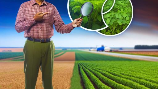
The Importance of Soil Mapping in Precision Agriculture Strategies
Introduction to Soil Mapping
Soon mapping plays a crucial role in modern agriculture.
It involves the detailed analysis of soil characteristics across different areas of land.
Farmers utilize this data to make informed decisions about their crops.
This process enhances the precision of agricultural practices.
Moreover, accurate soil maps highlight variations in soil properties.
The Role of Soil Mapping in Precision Agriculture
Precision agriculture aims to optimize field-level management regarding crop farming.
Soil mapping is fundamental to achieving this goal.
By understanding the soil’s physical and chemical properties, farmers can tailor their strategies.
These strategies lead to higher yields and better resource management.
In addition, soil mapping helps identify nutrient deficiencies and excesses.
Benefits of Utilizing Soil Maps
Using soil maps offers numerous benefits for farmers.
- They enable targeted fertilizer application, reducing waste.
- Soil maps assist in irrigation management, saving water.
- They help determine the best crop varieties for specific soil types.
- Moreover, they can predict soil erosion risk and guide conservation efforts.
As a result, farmers can maximize efficiency while minimizing environmental impact.
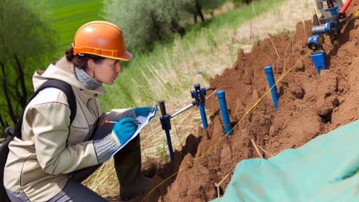
Implementing Soil Mapping Techniques
Various techniques exist for effective soil mapping.
Remote sensing technologies provide real-time data over large areas.
Additionally, soil sampling and analysis offer detailed insights into soil composition.
Transform Your Agribusiness
Unlock your farm's potential with expert advice tailored to your needs. Get actionable steps that drive real results.
Get StartedFarmers can use this information to create comprehensive soil maps.
By integrating technology, they enhance their understanding of land capabilities.
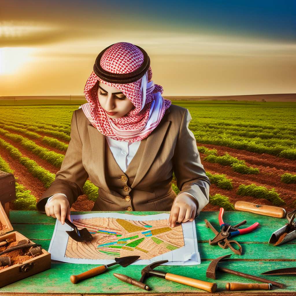
Understanding the Components of Soil Mapping
Physical Properties of Soil
Physical properties describe the soil’s texture and structure.
Soi1 texture comprises sand, silt, and clay proportions.
The structure indicates how soil particles aggregate.
Moreover, bulk density influences root growth and water retention.
Water infiltration rates can affect rainfall absorption and drainage.
Chemical Properties of Soil
Chemical properties encompass soil pH and nutrient availability.
Soil pH influences nutrient solubility and microbial activity.
Nutrient content includes essential minerals like nitrogen, phosphorus, and potassium.
Furthermore, cation exchange capacity indicates nutrient retention abilities.
Chemical interactions shape how plants access vital nutrients.
Biological Properties of Soil
Biological properties involve soil microorganisms and organic matter content.
Microorganisms play critical roles in nutrient cycling and decomposition.
Organic matter enhances soil structure and water retention capabilities.
These biological aspects improve overall soil fertility.
Consequently, they enhance plant health and crop yields.
The Technological Advancements in Soil Mapping
GPS Technology
Global Positioning System (GPS) technology revolutionizes soil mapping.
It provides precise location data essential for agricultural practices.
Farmers use GPS to track field boundaries accurately.
This technology enables them to record soil characteristics effectively.
Moreover, GPS helps in mapping changes in soil over time.
GIS Applications
Geographic Information Systems (GIS) play a crucial role in soil mapping.
This technology analyzes spatial data to inform farming decisions.
Showcase Your Farming Business
Publish your professional farming services profile on our blog for a one-time fee of $200 and reach a dedicated audience of farmers and agribusiness owners.
Publish Your ProfileWith GIS, farmers can visualize soil properties on digital maps.
This visualization enhances understanding of soil variability across fields.
Furthermore, GIS allows for zoning and management of soil resources.
Remote Sensing Methods
Remote sensing offers advanced soil mapping capabilities.
This technology utilizes satellite or aerial imagery to collect data.
It monitors soil conditions without needing physical access.
Farmers can assess moisture levels and nutrient content from above.
Additionally, remote sensing aids in monitoring crop health and growth.
Integration of Technologies
Combining GPS, GIS, and remote sensing enhances soil mapping accuracy.
This integration provides a comprehensive understanding of agricultural land.
Farmers can tailor their strategies based on detailed soil maps.
Such maps guide decisions on planting, irrigation, and fertilization.
Ultimately, this leads to increased yields and sustainable practices.
You Might Also Like: Organic Farming vs Conventional Farming: Key Differences in the USA
Benefits of Soil Mapping for Crop Management and Yield Optimization
Enhancing Crop Management
Soil mapping provides essential information about soil types.
With accurate data, farmers can make informed decisions.
This knowledge helps in selecting appropriate crops for each area.
Moreover, it allows for tailored fertilization strategies.
As a result, effective nutrient management becomes possible.
Optimizing Yield Potential
Understanding soil variability leads to better yield predictions.
Farmers can identify areas with high yield potential.
This insight assists in resource allocation for maximum productivity.
Additionally, it reduces waste associated with over-fertilization.
Consequently, farmers can enhance their overall profitability.
Improving Soil Health
Sustainable practices are easier to implement with soil data.
This mapping shows the need for crop rotation and cover crops.
Practices like these help maintain or improve soil structure.
Healthy soils support better plant growth and resilience.
Furthermore, they contribute to long-term agricultural sustainability.
Supporting Environmental Stewardship
Soil mapping plays a role in reducing environmental impact.
Farmers can pinpoint erosion-prone areas and address them.
This proactive approach leads to improved water quality in nearby bodies.
Additionally, managing inputs can lessen greenhouse gas emissions.
Thus, soil mapping contributes to a healthier ecosystem overall.
Explore Further: Best Tree Species for Agroforestry in Different US Climate Zones
Successful Implementations of Soil Mapping
Case Study: Green Acres Farm
Green Acres Farm utilized soil mapping technology extensively.
This approach helped them identify nutrient deficiencies.
As a result, they optimized their fertilizer application.
The farm experienced a 25% increase in crop yield.
Furthermore, they reduced fertilizer costs by 15%.
Showcase Your Farming Business
Publish your professional farming services profile on our blog for a one-time fee of $200 and reach a dedicated audience of farmers and agribusiness owners.
Publish Your ProfileCase Study: Mountain View Orchards
Mountain View Orchards embraced soil mapping for their apple production.
They analyzed soil moisture levels across their fields.
Such analysis enabled targeted irrigation strategies.
This led to a substantial improvement in water usage efficiency.
Moreover, the orchard noted a higher fruit quality.
Case Study: Riverbend Vineyard
Riverbend Vineyard applied soil mapping to enhance wine quality.
They mapped soil types and pH levels across their estate.
With this data, they tailored grape varieties to specific zones.
Consequently, the vineyard produced award-winning wines.
This method increased their market value significantly.
Case Study: Sunny Fields Crop Co.
Sunny Fields Crop Co. incorporated variable rate technology.
They combined it with soil mapping for improved crop management.
This strategy fostered better soil health and nutrient management.
The company reported a notable reduction in environmental impact.
In addition, they improved profit margins through smart resource allocation.
Delve into the Subject: Mastering Certified Naturally Grown Standards For Local Eco-Friendly Farms
Challenges and Limitations of Soil Mapping in Precision Agriculture
Data Collection Difficulties
Collecting accurate soil data can be a complex process.
Many farmers lack access to advanced technology.
This limitation hampers the quality of the soil mapping process.
Furthermore, inconsistent data collection practices create discrepancies.
Soil Variability
Soil composition varies significantly across different regions.
This natural variability complicates mapping efforts.
Even small changes in terrain can affect soil properties.
As a result, uniform solutions become less effective.
Interpretation Challenges
Interpreting soil maps requires specialized knowledge.
Many farmers may not understand complex soil data.
This knowledge gap can lead to poor decision-making.
Additionally, variability in data representation poses issues.
Cost Implications
Implementing precision agriculture strategies can be costly.
Investments in technology may be unaffordable for some farmers.
Moreover, ongoing maintenance and training further add to expenses.
These financial barriers limit widespread adoption.
Environmental Factors
Soil mapping does not account for unpredictable environmental changes.
Weather events can alter soil conditions dramatically.
This dynamism means that maps can quickly become outdated.
Consequently, farmers must remain adaptable and resilient.
Legal and Regulatory Issues
Regulations surrounding land use can complicate soil mapping.
Compliance with local laws may hinder data sharing.
This restriction limits collaboration among stakeholders.
Thus, proper legal frameworks are essential for progress.
Showcase Your Farming Business
Publish your professional farming services profile on our blog for a one-time fee of $200 and reach a dedicated audience of farmers and agribusiness owners.
Publish Your ProfileUncover the Details: Agroforestry Solutions for Erosion Control on US Farmlands
Future Trends in Soil Mapping Technologies and Methodologies
Advanced Sensor Technologies
New sensor technologies are revolutionizing soil mapping.
These sensors provide real-time data on soil properties.
They can accurately measure moisture levels and nutrient content.
Additionally, advancements in remote sensing offer wider coverage.
This enables farmers to assess larger areas quickly.
Integration of Artificial Intelligence
Artificial intelligence plays a crucial role in soil mapping.
AI algorithms analyze complex soil data efficiently.
They help identify patterns and correlations in soil health.
This leads to more precise recommendations for soil management.
Utilization of Machine Learning
Machine learning enhances soil mapping methodologies.
It allows for predictive modeling of soil behavior.
Farmers can anticipate changes in soil conditions.
This helps in making proactive agricultural decisions.
Collaboration with Agricultural IoT
The Internet of Things (IoT) revolutionizes agricultural practices.
IoT devices collect data from multiple soil points.
This data integrates with mapping systems for comprehensive analysis.
Farmers can monitor soil conditions remotely in real-time.
Improved Data Visualization Tools
Data visualization tools are becoming more user-friendly.
These tools provide clear representations of soil data.
Farmers can easily interpret complex information.
Visualization helps them make informed decisions quickly.
Emphasis on Environmental Sustainability
Future soil mapping methodologies prioritize sustainability.
Eco-friendly materials and techniques are on the rise.
This trend supports better soil conservation practices.
Sustainable methods enhance long-term agricultural productivity.
Focus on Data Sharing and Collaboration
Collaboration among farmers and researchers is increasing.
Data sharing leads to more comprehensive soil maps.
This collective knowledge benefits the entire agricultural community.
Farmers can adapt successful practices from one another.
The Essential Role of Soil Mapping in Sustainable Agricultural Practices
Enhancing Precision in Agriculture
Soi mapping plays a vital role in modern agriculture.
This process identifies soil types and characteristics with precision.
Farmers can then make informed decisions about crop selection.
Additionally, targeted nutrient management becomes possible.
Consequently, yields can increase while minimizing waste.
Improving Sustainability
Using soil mapping supports sustainable agricultural practices.
It allows for the efficient use of resources, reducing inputs.
This method also helps to protect soil health over time.
Farmers can implement crop rotation based on soil types.
As a result, they maintain nutrient balance and decrease erosion.
Showcase Your Farming Business
Publish your professional farming services profile on our blog for a one-time fee of $200 and reach a dedicated audience of farmers and agribusiness owners.
Publish Your ProfileSupporting Environmental Responsibility
Soil mapping promotes environmental stewardship in farming.
It identifies areas at risk of nutrient runoff and erosion.
Farmers can then create buffer zones to protect these areas.
Moreover, precise data allows for better water management practices.
This reduces the overall environmental footprint of agriculture.
Facilitating Technological Integration
Advanced soil mapping integrates with precision agriculture technologies.
Farmers can utilize sensors and satellite data for real-time mapping.
These technologies enhance the accuracy of soil information.
Additionally, they allow for dynamic adjustments during the growing season.
Consequently, farmers can optimize their productivity and sustainability.
Fostering a Healthier Agricultural Ecosystem
Sustainable agricultural practices greatly benefit from soil mapping.
It empowers farmers with essential information to make informed decisions.
Ultimately, soil mapping fosters a healthier agricultural ecosystem.
It ensures that both current and future farming needs are met.
Additional Resources
Advancing sustainable agriculture for goal 2: zero hunger-a …
Precision Agriculture in the Digital Era: Recent Adoption on U.S. Farms