Introduction to Precision Farming and Its Importance
Defining Precision Farming
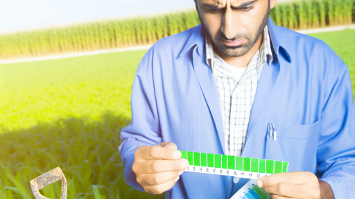
Precision farming refers to the advanced agricultural practices that optimize field-level management.
This technique utilizes data and technology to enhance crop yield and farm efficiency.
Farmers can tailor their methods based on specific field conditions.
Significance in Modern Agriculture
Precision farming plays a crucial role in maximizing productivity.
It allows farmers to make informed decisions based on accurate data analysis.
This approach reduces waste and increases resource efficiency.
Benefits for Farmers
With precision farming, farmers can significantly improve crop management.
They can identify soil variations and customize treatments effectively.
By doing so, they enhance the sustainability of their practices.
Impact on Environmental Conservation
This farming method contributes to environmental preservation.
It reduces chemical usage and minimizes impacts on surrounding ecosystems.
Furthermore, it promotes healthier soil and biodiversity.
Technological Integration
Innovative technologies are at the core of precision farming.
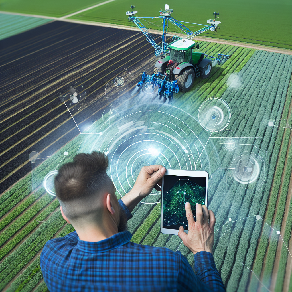
Satellite imagery plays a vital role in gathering crucial agricultural data.
This technology enables farmers to monitor crop health from above.
Transform Your Agribusiness
Unlock your farm's potential with expert advice tailored to your needs. Get actionable steps that drive real results.
Get StartedIt delivers insights that facilitate proactive decision-making.
Challenges and Considerations
While precision farming offers numerous advantages, it also presents challenges.
Implementation can require considerable investment in technology and training.
Farmers need to adapt to evolving tech landscapes to reap the benefits.
Overview of Satellite Imagery Technologies Used in Agriculture
Introduction to Satellite Imagery
Satellite imagery refers to images of the Earth’s surface captured by satellites.
This technology has become essential for modern agriculture.
Farmers utilize these images to enhance crop management.
Types of Satellite Imagery Technologies
Various satellite technologies support agricultural practices.
- Optical satellites capture images in visible light.
- Infrared satellites monitor plant health through heat detection.
- Radar satellites penetrate cloud cover for consistent data.
Applications in Precision Farming
Farmers apply satellite imagery for precise decision-making.
They analyze crop health using spectral data for better yields.
Additionally, they manage irrigation effectively using imagery insights.
Benefits of Using Satellite Imagery
Satellite imagery enhances efficiency in farming.
It helps reduce costs related to resource management.
Farmers can monitor vast areas quickly and accurately.
This technology optimizes pesticide and fertilizer applications.
Examples of Satellite Imagery in Action
Various farms implement satellite technologies successfully.
For instance, Green Valley Farms tracks crop growth using satellite data.
Similarly, FieldWise integrates satellite imagery into their management systems.
These examples illustrate the transformative power of this technology.
Benefits of Using Satellite Imagery for Crop Monitoring
Enhanced Crop Health Assessment
Satellite imagery provides real-time data on crop health.
This technology monitors plant growth and detects stress factors.
Farmers can quickly identify areas needing attention.
Moreover, it reduces the time spent on field assessments.
With immediate feedback, farmers can make informed decisions.
Showcase Your Farming Business
Publish your professional farming services profile on our blog for a one-time fee of $200 and reach a dedicated audience of farmers and agribusiness owners.
Publish Your ProfileOptimized Resource Management
Using satellite imagery promotes efficient resource allocation.
Farmers can analyze water usage and soil moisture levels.
This data helps in planning irrigation schedules effectively.
Consequently, it conserves water and enhances crop yield.
Optimizing inputs reduces costs and environmental impacts.
Improved Yield Predictions
Satellite data enhances yield prediction accuracy.
Farmers can assess crop development stages remotely.
Using historical data, they can forecast harvest outcomes.
Such predictions lead to better marketing strategies.
In turn, this supports overall farm profitability.
Greater Environmental Monitoring
Satellite imagery contributes to environmental sustainability.
It monitors land use changes and deforestation rates.
Farmers can implement conservation practices effectively.
This proactive approach minimizes negative environmental impacts.
Ultimately, it promotes sustainable farming practices.
Integration with Other Technologies
Satellite imagery works well with precision agriculture tools.
It integrates with drones, sensors, and data analytics.
This combination offers comprehensive crop monitoring solutions.
Farmers gain a detailed understanding of their fields.
This synergy enhances overall farm management efficiency.
Discover More: Machine Learning Applications In Crop Management
How Satellite Imagery Aids in Soil Health Assessment
Understanding Soil Health
Soil health is crucial for sustainable agriculture.
It impacts crop productivity and overall farm viability.
Farmers need a clear picture of soil conditions.
Satellite imagery provides valuable insights into soil health.
Identifying Soil Variability
Satellite images reveal variations across fields.
Farmers can detect differences in soil moisture levels.
This information helps in making informed decisions.
For example, areas with lower moisture may require more irrigation.
Consequently, farmers can optimize water usage.
Monitoring Nutrient Levels
Satellite technology can assess nutrient deficiencies.
Specific wavelengths detect chlorophyll levels in crops.
This data helps identify nutrient needs across fields.
As a result, farmers can apply fertilizers more effectively.
They can target problem areas without over-application.
Assessing Soil Erosion and Compaction
Soil erosion poses a significant risk to agriculture.
Satellite imagery helps monitor changes in soil topography.
Farmers can identify erosion-prone areas promptly.
Additionally, they can assess soil compaction through vegetation analysis.
This enables them to implement corrective measures quickly.
Showcase Your Farming Business
Publish your professional farming services profile on our blog for a one-time fee of $200 and reach a dedicated audience of farmers and agribusiness owners.
Publish Your ProfileGuiding Sustainable Practices
With satellite imagery, farmers can adopt sustainable practices.
It helps in implementing crop rotation and cover cropping.
Farmers can analyze how practices affect soil health over time.
Consequently, they can make adjustments to improve outcomes.
This leads to better soil management strategies.
You Might Also Like: Best Practices In Crop Health Monitoring Systems
Case Studies: Successful Implementation of Satellite Imagery in Farming
Precision Agriculture at Greenfield Farms
Greenfield Farms adopted satellite imagery to optimize resource use.
They utilized high-resolution imaging to map field variability.
This approach allowed them to target specific areas needing attention.
Consequently, they reduced water usage by 20%.
This case study illustrates the potential for water conservation.
Boosting Crop Yields with SkyTech Solutions
SkyTech Solutions implemented satellite imagery for crop monitoring.
The satellite data provided real-time insights into crop health.
Farmers accessed detailed maps highlighting growth patterns.
This information enabled targeted interventions for pest control.
As a result, crop yields increased by 15% in two growing seasons.
Enhancing Soil Management at River Valley Orchards
River Valley Orchards relied on satellite imagery for soil analysis.
They assessed nutrient levels and moisture content across fields.
The data guided them to adjust fertilizer applications effectively.
This method resulted in healthier trees and improved fruit production.
Thus, they achieved a substantial reduction in fertilizer costs.
Reducing Environmental Impact with EcoFarms
EcoFarms integrated satellite imagery to monitor environmental impacts.
They tracked changes in land use and vegetation cover.
This monitoring helped reduce pesticide application rates.
Moreover, EcoFarms enhanced their biodiversity conservation efforts.
The overall impact was a more sustainable farming practice.
Learn More: Managing Pests and Diseases with Cover Crops
Challenges and Limitations of Satellite Imagery in Agriculture
Data Resolution Issues
Satellite imagery often suffers from limited resolution.
This limitation affects the detail available for analysis.
Farmers may struggle to distinguish between crop types.
Additionally, small field sizes can further complicate assessments.
Low-resolution images may miss critical local variations.
Atmospheric Interference
Weather conditions can significantly impact satellite imagery.
Cloud cover often obscures important data.
This interference can delay decision-making for farmers.
Moreover, atmospheric particles can distort image quality.
Consequently, relying solely on satellite data can be misleading.
High Costs of Technology
Accessing high-quality satellite imagery can be expensive.
Small-scale farmers might find these costs prohibitive.
Additionally, maintaining the necessary technology requires investment.
Showcase Your Farming Business
Publish your professional farming services profile on our blog for a one-time fee of $200 and reach a dedicated audience of farmers and agribusiness owners.
Publish Your ProfileAs a result, many farmers remain unable to utilize these tools.
Data Processing Complexity
Interpreting satellite images requires specialized skills.
Farmers often need training to analyze the data effectively.
This complexity can become a barrier to adoption.
Moreover, the software needed for processing can be costly.
Thus, many farmers may hesitate to embrace this technology.
Legal and Privacy Concerns
Using satellite imagery raises numerous legal issues.
There can be concerns about data ownership and privacy.
Farmers may worry about unauthorized surveillance of their fields.
Additionally, regulations may restrict data sharing practices.
These factors can deter farmers from using satellite data.
Integration with Existing Practices
Combining satellite imagery with traditional farming practices can be difficult.
Farmers often rely on accumulated knowledge and experience.
Integrating new technologies requires adjustments in ongoing practices.
Furthermore, there may be resistance to change within farming communities.
This can hinder the adoption of satellite-guided methods.
You Might Also Like: Preventing Soil Degradation with Smart Practices
Future Trends: The Evolution of Satellite Technology in Farming
Advancements in Satellite Imaging
Satellite imaging is rapidly advancing in agricultural applications.
New technologies enhance image resolution and frequency.
Farmers can obtain real-time insights into their crops.
Moreover, these innovations provide better data for decision-making.
Integration with IoT and Big Data
Farmers are increasingly integrating satellite data with IoT devices.
This connectivity enables seamless data transmission.
Big data analytics can process vast amounts of satellite data.
As a result, farmers gain deeper insights into their operations.
The Role of AI and Machine Learning
Artificial intelligence enhances the effectiveness of satellite imagery.
Machine learning algorithms can identify patterns in crop health.
This technology allows for predictive analytics in farming.
Consequently, farmers can anticipate issues before they escalate.
Improved Resource Management
Satellite technology supports sustainable resource management.
It helps farmers monitor water usage more effectively.
This monitoring can significantly reduce waste and costs.
Additionally, it enables targeted application of fertilizers and pesticides.
Enhancing Crop Yield and Quality
Farmers are leveraging satellite imagery to boost yields.
They can analyze soil conditions across different zones.
This detailed analysis leads to informed planting decisions.
Ultimately, farmers can achieve higher quality produce.
Future of Satellite Farming
The future looks promising for satellite technology in agriculture.
Emerging technologies will continue to improve farming efficiency.
Farmers will rely more on data-driven decisions going forward.
Showcase Your Farming Business
Publish your professional farming services profile on our blog for a one-time fee of $200 and reach a dedicated audience of farmers and agribusiness owners.
Publish Your ProfileSatellite technology will revolutionize modern agriculture.
The Impact of Satellite Imagery on Sustainable Agriculture
Enhancing Crop Monitoring
Satellite imagery significantly enhances crop monitoring capabilities.
This technology allows farmers to assess crop health from above.
Farmers can identify issues like disease and nutrient deficiencies more quickly.
Timely interventions lead to higher yields and healthier crops.
Improving Resource Management
Efficient resource management is crucial for sustainability.
Satellite imagery helps farmers optimize water usage.
It can reveal areas that require irrigation or drainage.
This reduces waste and conserves vital water resources.
Supporting Precision Agriculture
Precision agriculture relies heavily on data accuracy.
Satellite data provides detailed information about soil conditions.
Farmers can tailor their inputs based on specific field needs.
This approach minimizes chemical use and enhances soil health.
Encouraging Sustainable Practices
Sustainable farming practices benefit greatly from satellite technology.
Farmers can track changes in land use and measure biodiversity.
Understanding land dynamics helps in making informed decisions.
It promotes the adoption of eco-friendly farming techniques.
Facilitating Research and Development
Satellite imagery plays a role in agricultural research.
Researchers use this data to study climate impacts on crops.
This knowledge informs the development of resilient crop varieties.
Ultimately, it can enhance food security in changing climates.
Additional Resources
Precision Agriculture With Drone Technology
Remote Sensing and Precision Agriculture Technologies for Crop …

