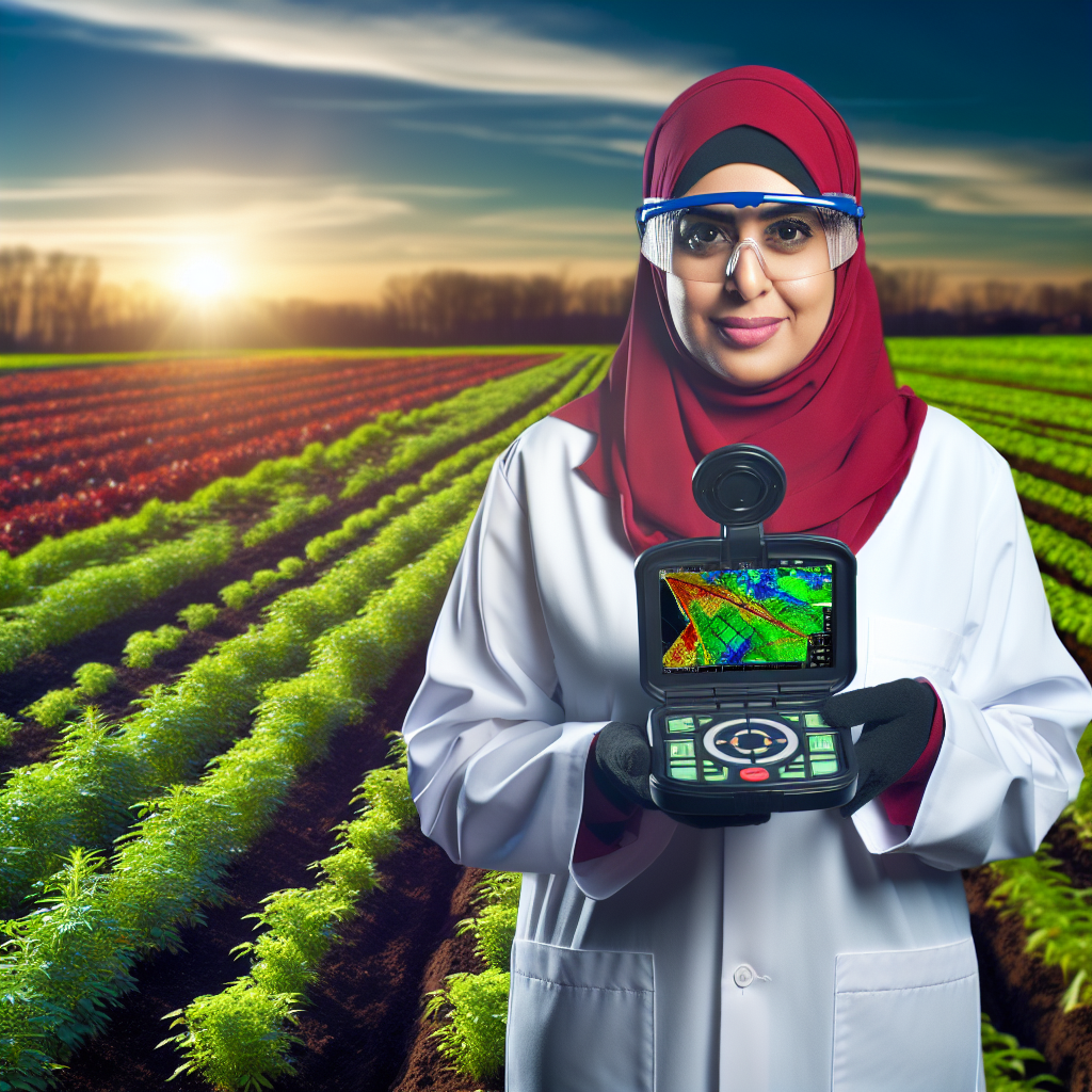
Introduction to Remote Sensing in Agriculture
Defining Remote Sensing
Remote sensing involves collecting data from a distance.
This technique utilizes sensors placed on satellites or aircraft.
These sensors capture images and other information about the Earth’s surface.
Importance in Agriculture
Farmers increasingly rely on remote sensing for better decision-making.
This technology helps in monitoring crop health effectively.
Moreover, it enables accurate assessment of soil conditions.
Applications in Modern Farming
Remote sensing finds various applications across agricultural practices.
- Precision agriculture utilizes this technology for field variability assessments.
- Crop monitoring using satellite images helps track growth stages.
- Yield prediction enhances planning and resource allocation.
- Pest and disease detection allows for timely interventions.
Benefits of Remote Sensing Techniques
Employing remote sensing provides several advantages for farmers.
- It increases efficiency by saving time and labor.
- Farmers can make data-driven decisions, reducing costs.
- Overall productivity improves through better resource management.
- Additionally, environmental impacts can be minimized.
Future Perspectives
The future of remote sensing in agriculture looks promising.
Emerging technologies will drive its evolution further.
Integration with artificial intelligence can enhance data analysis.
This will lead to more precise farming strategies.
Farmers will continue to benefit from ongoing advancements in this field.
Types of Remote Sensing Techniques Used in Farming
Satellite Imagery
Farmers widely use satellite imagery for crop monitoring.
This technique enables them to analyze land use patterns.
Transform Your Agribusiness
Unlock your farm's potential with expert advice tailored to your needs. Get actionable steps that drive real results.
Get StartedAdditionally, it offers insights into soil moisture levels.
High-resolution images provide detailed information on crop health.
Aerial Photography
Aerial photography complements satellite data effectively.
It provides a closer view of the land and crops.
Drone technology enhances this method significantly.
Drones can capture high-resolution images quickly and efficiently.
Farmers utilize aerial photography for precision agriculture.
LiDAR Technology
LiDAR technology is revolutionizing agriculture.
It measures distances with precision using laser pulses.
This information helps create detailed topographical maps.
Farmers can analyze vegetation heights and terrain slope.
LiDAR aids in planning irrigation and drainage systems.
Ground-Based Sensors
Ground-based sensors play a crucial role in farming.
These sensors monitor real-time soil conditions.
Farmers employ them to gauge moisture levels and temperature.
Data from these sensors helps optimize watering schedules.
This technique maximizes crop yields and conserves water.
Hyperspectral Imaging
Hyperspectral imaging offers a wealth of information.
This technique captures data across many wavelengths.
It assists in identifying plant stress and diseases early.
Farmers can detect nutrient deficiencies more efficiently.
As a result, they can implement timely interventions.
Integration of Remote Sensing Data
Integrating various remote sensing data enhances decision-making.
Farmers analyze information from different sources collectively.
Showcase Your Farming Business
Publish your professional farming services profile on our blog for a one-time fee of $200 and reach a dedicated audience of farmers and agribusiness owners.
Publish Your ProfileThis comprehensive view leads to more informed agricultural choices.
Furthermore, it improves overall farm management strategies.
Effective data integration can boost sustainability efforts.
The Role of Satellite Imagery in Crop Monitoring
Introduction to Satellite Imagery
Satellite imagery offers a new perspective on agricultural monitoring.
It provides real-time data about crop conditions and health.
Farmers can utilize this information to make informed decisions.
Benefits of Satellite Imagery
One significant advantage is enhanced crop monitoring.
High-resolution images allow for detailed assessments of land use.
This technology helps in identifying pest outbreaks early.
Additionally, it supports precise irrigation management.
Farmers can optimize water usage and conserve resources.
Types of Satellite Imagery
Various types of satellite imagery are available for agricultural use.
Optical imagery captures visible light, aiding in plant health diagnostics.
Conversely, infrared imagery detects heat signatures from plants.
This ability helps in assessing moisture levels and plant stress.
Applications in Precision Agriculture
Farmers increasingly incorporate satellite imagery into precision agriculture.
This integration allows for targeted interventions at the field level.
It enhances yield predictions and soil monitoring practices.
Consequently, farmers can achieve better resource management.
Challenges and Considerations
While beneficial, satellite imagery presents some challenges.
Data interpretation requires training and expertise.
Moreover, costs associated with this technology can be prohibitive.
Farmers must weigh these factors before implementation.
Gain More Insights: Enhancing Crop Yields with Smart Irrigation
Advantages of Drones for Precision Agriculture
Enhancing Crop Monitoring
Drones significantly improve crop monitoring capabilities.
They provide real-time data and high-resolution images.
This technology allows farmers to assess plant health quickly.
Moreover, drones cover large areas efficiently.
Farmers can identify issues like pests or diseases early.
Improving Resource Management
Drones help optimize resource use on farms.
They can accurately assess soil moisture levels remotely.
This information empowers farmers to apply water precisely.
As a result, farmers reduce waste and lower costs.
Additionally, drones facilitate more effective fertilizer application.
Achieving Faster Field Analysis
The speed of drone data collection is impressive.
Farmers receive actionable insights in a fraction of the time.
Quick analysis allows timely interventions to boost yield.
Consequently, crop production efficiency increases.
Enhancing Decision-Making
Drones provide comprehensive data for informed decisions.
Farmers can track growth patterns and make adjustments.
Showcase Your Farming Business
Publish your professional farming services profile on our blog for a one-time fee of $200 and reach a dedicated audience of farmers and agribusiness owners.
Publish Your ProfileThis capability leads to improved crop management strategies.
Consequently, farmers can increase profitability.
Supporting Sustainable Practices
Using drones promotes sustainable farming practices.
They minimize the need for pesticides through targeted application.
This approach reduces chemical runoff into waterways.
Additionally, drones contribute to efficient monitoring of biodiversity.
Farmers can enhance environmental stewardship through better practices.
Explore Further: Vertical Farming Equipment Essentials for Efficient Farming
Using LiDAR for Soil and Crop Analysis
Introduction to LiDAR Technology
LiDAR stands for Light Detection and Ranging.
This technology measures distances by sending out laser pulses.
It uses the time it takes for the pulse to return to calculate distances accurately.
As a result, LiDAR creates detailed three-dimensional maps of the landscape.
Benefits of LiDAR in Agriculture
LiDAR provides farmers with high-resolution data.
This data helps in analyzing soil properties and crop health.
Additionally, it allows for precise topographic mapping.
Consequently, farmers can improve their decision-making processes.
Soil Analysis Using LiDAR
LiDAR can assess soil moisture levels effectively.
The technology identifies varied soil types through elevation data.
Moreover, it enables mapping of water flow and drainage patterns.
This information is critical for efficient irrigation management.
Mapping Terrain and Elevation
LiDAR creates accurate elevation models for the land.
These models help understand how water interacts with the landscape.
Understanding terrain assists in planning crop rotation strategies.
Identifying Soil Compaction
Farmers can use LiDAR to detect areas of soil compaction.
Compacted soil can hinder root growth and water absorption.
Thus, identifying these areas allows for timely interventions.
Crop Analysis Using LiDAR
LiDAR plays a significant role in crop monitoring.
It helps in assessing plant health and growth patterns.
Furthermore, it provides data on crop height and canopy structure.
This information assists in optimizing fertilization and pesticide application.
Monitoring Crop Health
LiDAR detects changes in crop height over time.
This analysis indicates plant growth and health throughout the season.
Farmers can respond quickly to any detected issues.
Planning Harvest Strategies
LiDAR data helps predict harvest yields based on plant growth.
Farmers can plan harvests more efficiently with this information.
Consequently, they can optimize labor and reduce costs.
LiDAR’s Impact on Farming Practices
LiDAR technology transforms agricultural practices significantly.
Farmers gain crucial insights into soil and crop conditions.
As a result, they make informed decisions that enhance productivity.
This technology leads to sustainable farming practices and better resource management.
Showcase Your Farming Business
Publish your professional farming services profile on our blog for a one-time fee of $200 and reach a dedicated audience of farmers and agribusiness owners.
Publish Your ProfileFind Out More: Choosing the Right Sensors for Your Crops

Integration of IoT with Remote Sensing for Real-Time Data
Significance of Real-Time Data in Agriculture
Real-time data enhances decision-making in agriculture.
This data enables farmers to respond quickly to changing conditions.
Moreover, immediate access to information can optimize crop yields.
Farmers can monitor soil moisture and nutrient levels effectively.
Additionally, they can track pest outbreaks and disease symptoms rapidly.
Collecting Data through IoT Devices
IoT devices gather crucial data from the field continuously.
Sensors measure temperature, humidity, and soil conditions accurately.
Cameras equipped with AI analyze crop health and growth patterns.
These devices communicate data to central platforms seamlessly.
Integrating Remote Sensing Technologies
Remote sensing technologies provide aerial imagery for land monitoring.
Drones capture high-resolution images, revealing crop status from above.
Satellites contribute comprehensive views of larger agricultural areas.
These technologies identify variances in crop health over time.
Farmers can detect issues early and allocate resources wisely.
Benefits of Combining IoT and Remote Sensing
The integration of IoT and remote sensing generates powerful insights.
This fusion enhances precision agriculture practices effectively.
Farmers gain actionable information to improve resource management.
Additionally, they can increase operational efficiency through automation.
Case Studies of Successful Integrations
Many farms experience notable enhancements after adopting these technologies.
For instance, GreenField AgriTech uses IoT sensors alongside drones.
They monitor crop health regularly and adjust irrigation schedules.
This practice leads to water conservation and better harvests.
Moreover, AgroTech Solutions showcases successful pest management.
Remote sensing helps pinpoint pest infestations, enabling timely responses.
Challenges and Future Directions
Despite the advantages, challenges still exist in implementation.
Data management and integration can be complex and resource-intensive.
Additionally, ensuring data accuracy and security remains essential.
Future developments aim to simplify usage and enhance accessibility.
Innovations in AI and machine learning may drive new solutions.
Uncover the Details: Automated Machinery in Precision Agriculture
Case Studies: Successful Application of Remote Sensing Techniques
Precision Agriculture in Corn Farming
Agricultural Technologies Corporation implemented remote sensing for corn farming.
This approach enhanced yield predictions and disease detection.
High-resolution satellite imagery helped assess crop health effectively.
The findings led to timely interventions by farmers.
Farmers reported increased crop yields by approximately 15%.
Furthermore, they appreciated minimized resource wastage.
Monitoring Water Use in Rice Cultivation
Green Fields Solutions leveraged remote sensing to optimize water use in rice fields.
They utilized thermal imaging to detect water stress levels.
This technique supported more efficient irrigation management.
Showcase Your Farming Business
Publish your professional farming services profile on our blog for a one-time fee of $200 and reach a dedicated audience of farmers and agribusiness owners.
Publish Your ProfileResearchers noted a reduction in water usage by 30% in participating farms.
Additionally, this method improved overall crop resilience.
Local farmers welcomed the technology for its accessibility.
Soil Moisture Assessment in Wheat Production
Agricultural Innovations Group incorporated remote sensing for soil moisture assessment.
They used spectral reflectance to measure moisture levels accurately.
This data guided farmers on optimal planting times.
Moreover, it assisted in determining the need for supplemental irrigation.
The results showcased a 20% increase in wheat productivity.
Farmers expressed satisfaction with reduced operational costs.
Integrated Pest Management Using Drone Technology
Smart Farms utilized drones for integrated pest management in soybean fields.
Drones provided real-time data on pest infestations.
This information enabled targeted pesticide application.
Farmers reported a significant reduction in pesticide usage, by around 40%.
Additionally, the approach decreased potential pesticide resistance in pests.
The successful implementation drawn interest from neighboring farms.
Future Trends in Remote Sensing Technologies for Agriculture
Integration of Artificial Intelligence
Artificial intelligence significantly enhances remote sensing applications in agriculture.
AI algorithms process vast data quickly and accurately.
Farmers can analyze crop health and manage resources more efficiently.
Additionally, AI detects patterns that human analysts might overlook.
The Rise of Drones
Drones are becoming indispensable tools in modern agriculture.
They provide high-resolution imagery for precision farming.
Farmers can monitor large areas with minimal ground disturbance.
Moreover, drones facilitate timely interventions to improve yield.
Development of Satellite Technology
Satellite technology continues to evolve for agricultural applications.
New satellites deliver real-time data on weather and soil conditions.
This information allows farmers to make informed decisions promptly.
In addition, satellite imagery assists in evaluating crop growth stages.
Enhancements in Environmental Monitoring
Environmental monitoring through remote sensing offers numerous benefits.
This technology tracks changes in land use and moisture levels.
Farmers can assess the sustainability of their practices effectively.
Consequently, they can adapt to fluctuations in environmental conditions.
Utilization of Hyperspectral Imaging
Hyperspectral imaging is gaining traction in agricultural research.
This technique captures a wide range of wavelengths beyond visible light.
It enables the detection of subtle differences in plant health.
Consequently, farmers can target specific areas needing attention.
Emerging Sensor Technologies
Emerging sensor technologies are enhancing remote sensing capabilities.
These sensors provide detailed data on soil properties and moisture levels.
As a result, farmers can optimize irrigation and fertilization practices.
Additionally, integrating sensor arrays increases efficiency in data collection.
Collaboration with Agricultural Startups
Collaboration with agricultural startups is driving innovation.
Showcase Your Farming Business
Publish your professional farming services profile on our blog for a one-time fee of $200 and reach a dedicated audience of farmers and agribusiness owners.
Publish Your ProfileThese companies introduce novel applications of remote sensing technology.
Partnerships allow farmers to access cutting-edge tools and methodologies.
This collaboration fosters a dynamic agricultural ecosystem overall.
Advancements in Data Analytics
Advancements in data analytics enhance the usability of remote sensing data.
Farmers can derive actionable insights from complex data sets.
This capability improves decision-making and reduces uncertainty.
Furthermore, predictive analytics aids in anticipating future agricultural trends.
Additional Resources
Setting the Record Straight on Precision Agriculture Adoption …


