Introduction to Remote Sensing and Its Role in Agriculture
Defining Remote Sensing
Remote sensing involves collecting data from a distance using sensors.
These sensors capture information about the Earth’s surface.
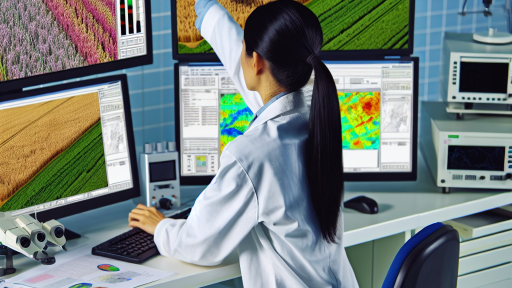
Remote sensing techniques include satellite imagery and aerial photography.
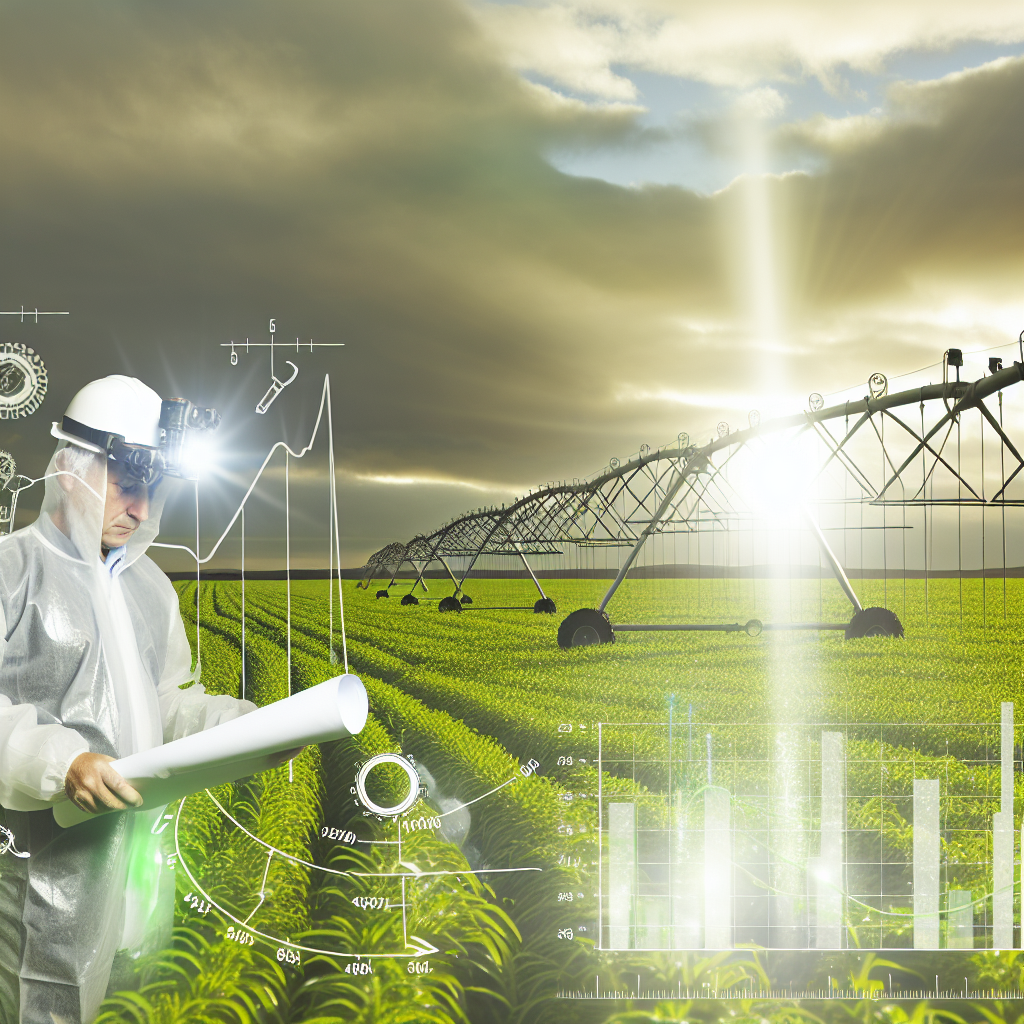
Farmers can use these methods to monitor crop health effectively.
Applications in Agriculture
Remote sensing enhances decision-making in farming.
For instance, farmers can determine irrigation needs more accurately.
Additionally, it helps identify pest infestations early.
Crop yield predictions are also improved through remote sensing.
Advantages of Remote Sensing
This technology provides real-time data for timely interventions.
Consequently, it saves resources and increases efficiency.
Farmers can optimize water usage and reduce waste.
Moreover, remote sensing minimizes labor costs and effort.
Challenges and Limitations
Despite its benefits, remote sensing faces challenges.
High initial costs can be a barrier for some farmers.
Moreover, data interpretation requires technical expertise.
Transform Your Agribusiness
Unlock your farm's potential with expert advice tailored to your needs. Get actionable steps that drive real results.
Get StartedWeather conditions can also affect data quality.
Future Prospects
The future of remote sensing in agriculture looks promising.
Advancements in technology will improve accuracy and accessibility.
Integration with other technologies, such as AI, is expected.
These developments will enhance farm management practices significantly.
Understanding Irrigation Efficiency
Definition of Irrigation Efficiency
Irrigation efficiency measures how effectively water is used in agricultural practices.
It reflects the amount of water applied compared to the amount of water actually utilized by crops.
Higher efficiency indicates less waste and improved water management.
Importance of Irrigation Efficiency
Irrigation efficiency directly impacts agricultural productivity.
Efficient water use increases crop yields and reduces production costs.
Moreover, it conserves water resources, crucial in water-scarce regions.
Efficiency also minimizes environmental impacts associated with over-irrigation.
Benefits of Improved Irrigation Efficiency
- Reduces water waste and enhances availability for other uses.
- Decreases energy costs related to water pumping.
- Improves soil health by avoiding waterlogging and salinization.
- Enhances resilience to drought conditions.
Challenges in Achieving Irrigation Efficiency
Several factors influence irrigation efficiency in agricultural settings.
These include outdated equipment and lack of proper technology.
Additionally, farmer education on best practices remains crucial.
Weather variability can also complicate scheduling and irrigation methods.
Types of Remote Sensing Technologies Used in Irrigation
Satellite Imagery
Satellite imagery provides a broad perspective on agricultural land.
It captures real-time data on soil moisture and crop health.
Farmers can analyze this data to optimize irrigation schedules.
Companies like Planet Labs offer high-resolution images regularly.
Unmanned Aerial Vehicles (UAVs)
UAVs, or drones, collect high-resolution imagery over fields.
They generate detailed maps of crop conditions and moisture levels.
Drones enable targeted irrigation by identifying dry areas quickly.
Moreover, they facilitate timely interventions for better crop yields.
Showcase Your Farming Business
Publish your professional farming services profile on our blog for a one-time fee of $200 and reach a dedicated audience of farmers and agribusiness owners.
Publish Your ProfileGround-Based Sensors
Ground-based sensors measure soil moisture at various depths.
They provide continuous data on moisture levels directly from the field.
This information helps farmers adjust irrigation systems in real-time.
Devices like moisture probes are popular for their effectiveness.
Remote Sensing and IoT Integration
The integration of remote sensing with IoT enhances irrigation efficiency.
Irrigation systems can automatically adjust based on data received.
This technology reduces water waste and promotes sustainable practices.
Companies like CropX offer solutions that leverage this integration.
Climate and Weather Stations
Weather stations provide critical information about local climate conditions.
This data influences irrigation schedules by predicting rainfall patterns.
Farmers can optimize water use through informed decision-making.
Real-time alerts help farmers respond to changing weather conditions.
Learn More: Vertical Farming Design Principles for Agricultural Success
Data Collection Methods: Satellites, Drones, and Ground Sensors
Satellites
Satellites collect vast amounts of data on Earth’s surface.
They provide images and information on vegetation health.
Moreover, satellite data covers large areas quickly.
Farmers use satellite imagery to monitor irrigated fields.
This method enhances decision-making and water management.
Drones
Drones offer high-resolution images and real-time data.
They can fly low and capture detailed images of crops.
This technology helps identify issues like water stress.
Farmers can target specific areas needing attention.
Consequently, drone data leads to precise irrigation applications.
Ground Sensors
Ground sensors measure soil moisture levels accurately.
These sensors provide immediate feedback to farmers.
They assist in determining when irrigation is necessary.
Furthermore, data from ground sensors supports effective resource use.
Farmers combine this information with aerial data for optimal results.
Integration of Methods
Combining data from satellites, drones, and sensors is beneficial.
This integrated approach enhances irrigation efficiency overall.
Farmers are better equipped to manage water resources.
As a result, they can increase crop yield and save water.
Discover More: Automated Machinery for Livestock Management
Analyzing Soil Moisture Levels with Remote Sensing
Introduction to Soil Moisture Sensing
Soil moisture levels are crucial for effective irrigation management.
Remote sensing technology offers a non-invasive method for measuring these levels.
It provides timely information to ensure optimal water usage.
Types of Remote Sensing Technologies
Various remote sensing technologies are available for soil moisture analysis.
Satellite imagery is widely used due to its broad coverage.
However, ground-based sensors offer greater precision at specific locations.
Additionally, drone technology is emerging as a flexible alternative.
Showcase Your Farming Business
Publish your professional farming services profile on our blog for a one-time fee of $200 and reach a dedicated audience of farmers and agribusiness owners.
Publish Your ProfileBenefits of Remote Sensing in Irrigation
Using remote sensing improves irrigation decision-making significantly.
This technology helps identify areas needing more or less water.
Consequently, it reduces water waste and enhances crop yields.
Moreover, these insights can inform scheduling and system design.
Real-World Applications
Many agricultural companies are adopting remote sensing for soil moisture analysis.
For instance, GreenFields Agritech recently implemented this technology across its farms.
This decision has led to a notable increase in water efficiency.
Furthermore, they reported a 15% reduction in water consumption.
Challenges and Limitations
Despite its advantages, remote sensing technology faces certain challenges.
Weather conditions can affect the accuracy of satellite readings.
Additionally, high initial costs can deter small-scale farmers from adoption.
Education and training are also essential for effective implementation.
Future Trends in Remote Sensing
The future of remote sensing technology looks promising.
Advancements in AI will enhance data interpretation capabilities.
Moreover, integration with agricultural management systems will streamline operations.
As technology evolves, we expect even greater adoption among farmers.
Learn More: Data-Driven Decisions in Precision Agriculture

Case Studies: Successful Implementation of Remote Sensing in Irrigation
Introduction to Case Studies
Remote sensing technology enhances irrigation efficiency globally.
Several successful case studies demonstrate its effectiveness.
These examples highlight diverse agricultural regions and practices.
Agricultural Innovation in California
In California, farmers adopted satellite imagery for irrigation management.
They achieved significant water savings by monitoring crop stress.
The data helped adjust irrigation schedules promptly.
This approach improved yields while conserving precious water resources.
Enhancing Crop Production in India
In India, a cooperative implemented unmanned aerial vehicles (UAVs) for irrigation.
The UAVs provided real-time data on soil moisture levels.
Farmers used this information to optimize their irrigation practices.
As a result, crop production increased by 20% in one season.
Efficiency in Spanish Olive Groves
A large olive farm in Spain implemented remote sensing for irrigation monitoring.
By utilizing thermal imaging, they identified water stress zones quickly.
This allowed for targeted water application in the most affected areas.
The farm reduced water usage by 30% while maintaining fruit quality.
Collaboration with Research Institutions
Many farmers collaborate with research institutions for advanced analytics.
These partnerships enhance the understanding of plant-water relationships.
They use sophisticated models to predict irrigation needs accurately.
This collaboration leads to improved resource management and sustainability.
Challenges and Future Directions
Despite the successes, challenges remain in remote sensing adoption.
Farmers may face technical barriers and high initial costs.
However, education and training programs can help mitigate these issues.
Future developments in technology are set to improve accessibility.
Showcase Your Farming Business
Publish your professional farming services profile on our blog for a one-time fee of $200 and reach a dedicated audience of farmers and agribusiness owners.
Publish Your ProfileSummary of Benefits
- Improved irrigation efficiency reduces water waste.
- Higher crop yields enhance food security.
- Real-time data supports timely decision-making.
- Remote sensing fosters sustainable agricultural practices.
Learn More: Precision Farming Strategies for Pest Management
Challenges and Limitations of Remote Sensing in Irrigation Management
Data Accuracy and Resolution
Remote sensing technology often faces issues with data accuracy.
Different satellite platforms provide varying resolutions.
Low-resolution images may miss crucial details.
This limitation complicates precise irrigation management decisions.
Atmospheric Interference
Weather conditions can significantly affect remote sensing data.
Cloud cover frequently obscures satellite imagery.
This obstruction hampers effective monitoring of irrigation practices.
Cost and Accessibility
The implementation of remote sensing technology can be expensive.
High costs may deter smaller farms from adopting this technology.
Many farmers lack access to necessary training and resources.
Integration with Existing Systems
Integrating remote sensing data with existing irrigation systems presents challenges.
Data processing requires specialized knowledge and expertise.
Additionally, compatibility with current management tools is often lacking.
Temporal Limitations
Remote sensing cannot provide real-time updates consistently.
Timely data is critical for effective irrigation management.
Delays in receiving data may disrupt critical decision-making.
Regulatory and Compliance Issues
Farmers face regulatory barriers when using remote sensing technology.
Compliance with data protection laws can complicate data usage.
These regulations often vary by region, adding to the complexity.
Future Trends: Advances in Technology for Enhanced Irrigation Efficiency
Integration of Remote Sensing Technology
Remote sensing technology significantly improves irrigation practices.
This technology uses satellite imagery for accurate assessments.
Farmers can monitor crop health and soil moisture levels accurately.
As a result, they can optimize water usage effectively.
Development of Smart Irrigation Systems
Smart irrigation systems utilize real-time data for efficient watering.
These systems adjust water flow based on weather forecasts.
Consequently, they help prevent over-watering and under-watering.
Farmers can achieve better crop yield while saving resources.
Use of Drones in Agriculture
Drones provide detailed aerial imagery of agricultural fields.
This technology helps identify irrigation issues quickly.
Farmers can detect dry areas needing immediate attention.
Another advantage is the ability to monitor large areas rapidly.
Data Analytics and Machine Learning
Data analytics play a crucial role in irrigation management.
Farmers can analyze historical data to predict water needs.
Machine learning algorithms enhance these predictions over time.
As a result, irrigation efficiency improves significantly.
Future Prospects of Irrigation Technology
The future of irrigation technology looks promising and innovative.
Emerging technologies will continue to enhance efficiency.
For example, IoT devices will allow remote control of irrigation systems.
Furthermore, sustainable practices will gain greater focus.
Showcase Your Farming Business
Publish your professional farming services profile on our blog for a one-time fee of $200 and reach a dedicated audience of farmers and agribusiness owners.
Publish Your ProfileAdopting these technologies will drive significant changes in agriculture.
Additional Resources
Artificial intelligence on the agro-industry in the United States of …


