Introduction to Remote Sensing in Agriculture
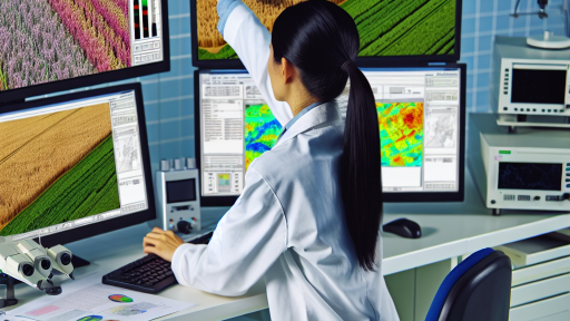
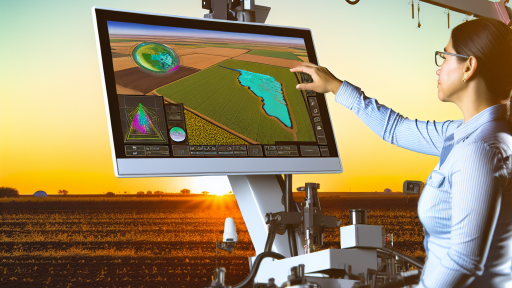
Remote sensing technology plays a transformative role in modern agriculture.
This technology enables farmers to monitor crop health efficiently.
Additionally, it provides valuable insights into soil conditions.
Farmers can make informed decisions based on this information.
Understanding Remote Sensing Techniques
Various remote sensing techniques are used in agriculture today.
Aerial imagery captures detailed views of farmland.
Satellite imagery offers broader geographic coverage.
Moreover, drones facilitate precision farming practices.
Applications of Remote Sensing in Farming
Remote sensing finds numerous applications in agriculture.
- Crop monitoring helps identify health issues early.
- Yield estimation allows for better resource allocation.
- Soil moisture mapping aids irrigation planning.
- Pest and disease detection improves crop management.
Benefits for Farmers
Farmers experience several benefits from employing remote sensing.
This technology increases operational efficiency significantly.
Additionally, it helps reduce input costs over time.
Ultimately, remote sensing enhances overall crop yields.
Challenges in Implementation
Despite its advantages, remote sensing poses challenges.
Data interpretation can be complex for many farmers.
Transform Your Agribusiness
Unlock your farm's potential with expert advice tailored to your needs. Get actionable steps that drive real results.
Get StartedFurthermore, initial setup costs may deter some users.
However, ongoing advancements are addressing these issues.
Overview of Remote Sensing Technologies
Introduction to Remote Sensing
Remote sensing involves acquiring information about an object from a distance.
This technology utilizes sensors to detect and interpret data from various sources.
It plays a pivotal role in transforming agricultural practices.
Key Types of Remote Sensing Technologies
Several types of remote sensing systems exist today.
These include satellite-based, aerial, and ground-based systems.
Satellite-Based Remote Sensing
This technology relies on satellites orbiting the Earth to gather data.
Satellites can cover vast areas, providing comprehensive agricultural insights.
They capture data on vegetation, soil moisture, and land use changes.
Aerial Remote Sensing
Aerial systems involve the use of aircraft or drones for data collection.
They offer high-resolution images and localized information.
Drones can fly at various altitudes, targeting specific fields.
Ground-Based Remote Sensing
This type of sensing uses equipment placed on the ground.
It provides detailed, real-time data about soil conditions and crop health.
Ground sensors measure temperature, humidity, and nutrient levels directly.
Functions of Remote Sensing in Agriculture
Remote sensing contributes significantly to precision agriculture.
Farmers use it to monitor crop health and soil conditions efficiently.
This technology helps identify areas requiring specific attention.
Crop Monitoring
Farmers utilize remote sensing to track crop growth stages.
This method detects stress factors like disease or water shortages.
Additionally, it informs about the overall health of the crops.
Resource Management
Remote sensing aids in efficient resource management on farms.
It enables precise irrigation and fertilizer applications.
Showcase Your Farming Business
Publish your professional farming services profile on our blog for a one-time fee of $200 and reach a dedicated audience of farmers and agribusiness owners.
Publish Your ProfileThis practice maximizes yields while minimizing waste and environmental impact.
Yield Prediction
Farmers can predict crop yields using remote sensing data.
This information assists in planning and market strategies.
Moreover, accurate predictions can improve supply chain management.
Applications of Remote Sensing in Crop Monitoring and Management
Precision Agriculture
Remote sensing technologies enhance precision agriculture significantly.
They allow farmers to monitor crop health efficiently.
This technology provides critical data on soil conditions.
Agronomists use this data to make informed decisions.
Farmers can optimize inputs like water and fertilizers.
Consequently, they improve yield while reducing waste.
Crop Health Assessment
Remote sensing aids in assessing crop health rapidly.
Farmers can detect stress and diseases early.
This proactive approach prevents significant losses.
Using satellite imagery, they can monitor changes over time.
The NDVI index helps visualize plant vigor.
Furthermore, aerial drones capture detailed imagery of fields.
Yield Prediction
Accurate yield prediction becomes possible with remote sensing.
Farmers use historical data and satellite imagery for modeling.
This enhances forecasting accuracy for better planning.
Yield estimates help in market strategy formulation.
Moreover, they enable resource allocation and distribution planning.
Irrigation Management
Effective irrigation management is another benefit.
Remote sensing monitors soil moisture levels accurately.
This information helps farmers optimize their watering schedules.
They reduce water wastage through precise irrigation techniques.
In addition, this technology identifies areas needing attention.
Consequently, this leads to healthier crop growth overall.
Pest and Disease Monitoring
Remote sensing technology plays a crucial role in pest management.
It allows timely detection of pest infestations.
Farmers can respond before infestations escalate.
Additionally, it aids in monitoring disease patterns.
Identifying affected areas promptly is essential for control programs.
Farmers can apply treatments targeted at specific locations.
Sustainability and Environmental Monitoring
Remote sensing promotes sustainable agricultural practices.
It enables monitoring of crop rotation and land use changes.
This data helps in managing natural resources wisely.
Sustainability practices enhance soil health and biodiversity.
Moreover, they reduce environmental impact from farming activities.
As a result, farmers contribute positively to the ecosystem.
Learn More: Optimizing Farm Resources through Remote Sensing
Showcase Your Farming Business
Publish your professional farming services profile on our blog for a one-time fee of $200 and reach a dedicated audience of farmers and agribusiness owners.
Publish Your ProfilePrecision Agriculture: How Remote Sensing Enhances Efficiency
Introduction to Precision Agriculture
Precision agriculture revolutionizes farming through technology.
This approach maximizes crop yields and minimizes waste.
Farmers can make informed decisions by utilizing real-time data.
The Role of Remote Sensing
Remote sensing plays a crucial role in precision agriculture.
It involves collecting data from satellites and drones.
This data provides insights into crop health and soil conditions.
Benefits of Remote Sensing in Farming
The use of remote sensing offers numerous advantages.
- Early detection of crop diseases enhances response time.
- Monitoring moisture levels optimizes irrigation practices.
- Precision mapping helps in targeted nutrient application.
Technological Innovations
Recent innovations boost the effectiveness of remote sensing.
Advanced sensors can track plant growth accurately.
Machine learning algorithms analyze data efficiently.
Case Studies on Implementation
Farmers worldwide adopt remote sensing technologies successfully.
For instance, GreenField Farms increased yield by 20%.
This success stemmed from precise nutrient management practices.
Another example is UrbanAgri Co., which optimized water usage.
Future Trends in Remote Sensing
The future of remote sensing looks promising for agriculture.
Emerging technologies will enhance data collection capabilities.
Integration with artificial intelligence will drive insights forward.
Moreover, real-time analytics will improve decision-making processes.
Uncover the Details: Automation in Vertical Farming to Boost Productivity
Recent Innovations in Remote Sensing
Drones
Drones have revolutionized agricultural monitoring.
They provide real-time data for farmers.
These aerial devices capture high-resolution images.
Farmers can assess crop health efficiently.
Additionally, drones support precision agriculture.
Farmers can apply inputs accurately based on data.
This reduces waste and increases yield.
Satellites
Satellite technology plays a crucial role in agriculture.
Satellites enable large-scale monitoring of farms.
They offer data on soil moisture and temperature.
Furthermore, they help identify crop stress and disease.
Farmers can make informed decisions quickly.
Satellite imagery is essential for tracking changes over time.
Consequently, it enhances long-term planning strategies.
Imagery Techniques
Advancements in imagery techniques benefit agriculture greatly.
Multispectral and hyperspectral imaging provide detailed insights.
These techniques reveal variations in plant health.
Farmers can pinpoint problem areas in their fields.
Moreover, imagery aids in assessing crop yields.
Farmer decisions become data-driven and less guesswork.
As a result, overall productivity sees significant improvement.
Showcase Your Farming Business
Publish your professional farming services profile on our blog for a one-time fee of $200 and reach a dedicated audience of farmers and agribusiness owners.
Publish Your ProfileGain More Insights: Enhancing Irrigation Efficiency with Remote Sensing
Case Studies: Successful Implementation of Remote Sensing in Farming
Improving Crop Health with Precision Agriculture
FarmTech Solutions successfully integrated remote sensing into their crop management practices.
They employed drones equipped with multispectral cameras.
This technology allowed them to monitor plant health across vast fields.
The data collected enabled timely interventions for pest and disease management.
As a result, farm productivity increased significantly.
Enhancing Yield Predictions through Satellite Imagery
Agricultural Innovations Inc. utilized satellite imagery to assess crop growth stages.
They analyzed data on weather patterns and soil conditions.
This information refined their yield predictions for various crops.
Consequently, farmers could optimize their harvesting schedules effectively.
This strategic approach led to reduced waste and increased revenues.
Optimizing Irrigation with Remote Sensors
WaterWise Farms implemented remote sensing technology to optimize irrigation practices.
Using soil moisture sensors, they determined the precise water needs of their crops.
This method prevented over-irrigation and conserved water resources.
Subsequently, their water usage decreased by over 30%.
This conservation effort significantly reduced operational costs.
Utilizing UAVs for Precision Application
AgriDrone Services introduced unmanned aerial vehicles (UAVs) for precision application of fertilizers.
The UAVs sprayed fertilizers with high accuracy, targeting only the required areas.
This method minimized chemical runoff and environmental impact.
Farmers reported improved crop quality and decreased input costs.
Overall, this technology fostered sustainable farming practices.
Integrating Remote Sensing into Decision-Making
SmartAg Solutions implemented a decision support system that integrated remote sensing data.
This system analyzed various agricultural factors, including weather and soil health.
Farmers received tailored insights for their specific situations.
Such recommendations improved overall farm management decisions.
As a result, crop outputs increased while minimizing resource waste.
Uncover the Details: Vertical Farming Design Principles for Agricultural Success
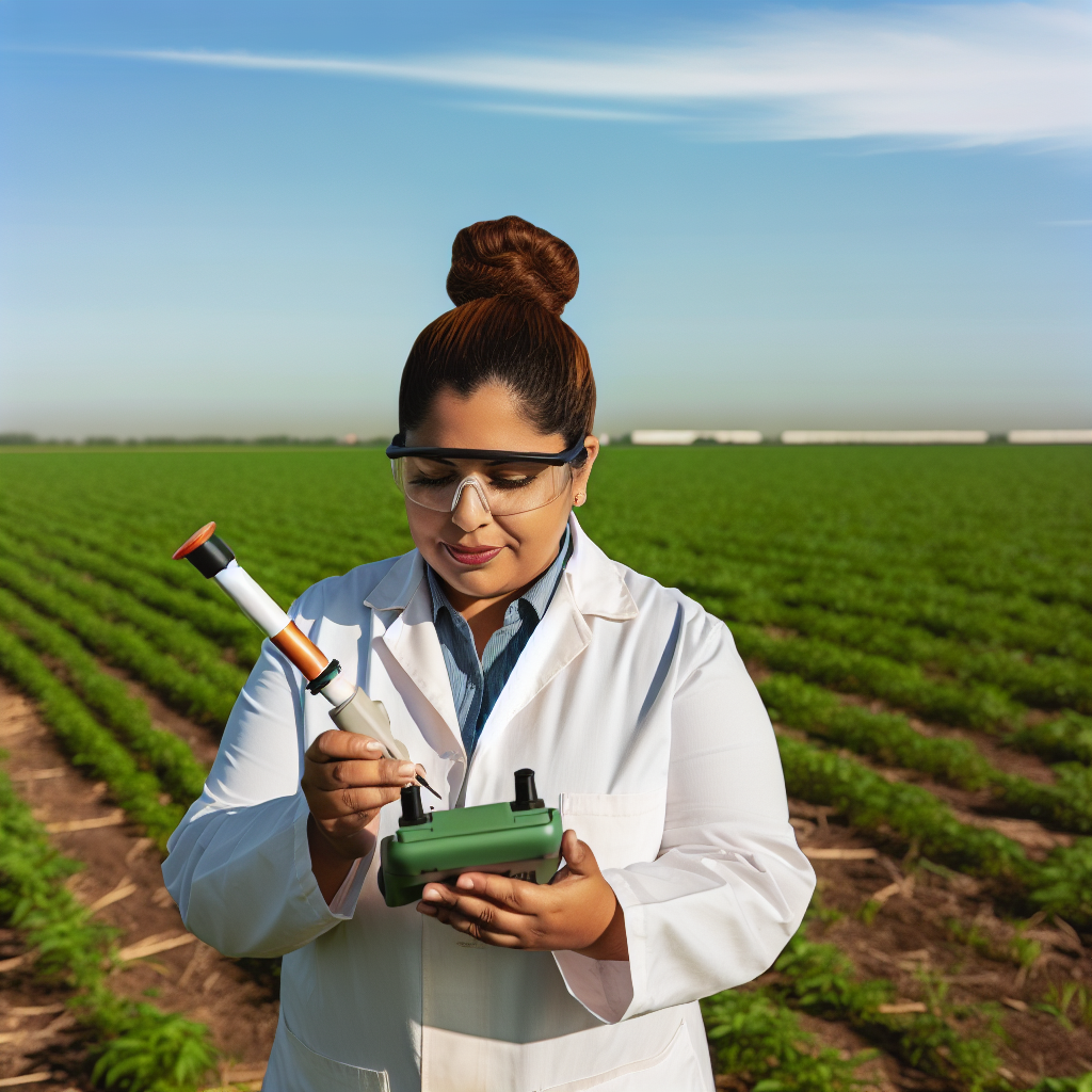
Challenges and Limitations of Remote Sensing in Agriculture
Technical Limitations
Remote sensing technology often faces technical challenges.
Cloud cover can hinder satellite data collection.
Additionally, variations in atmospheric conditions affect data quality.
Some sensors may lack the resolution needed for specific applications.
Moreover, data integration from multiple sources can be complex.
Spatial and Temporal Resolution Constraints
Remote sensing systems have varying spatial resolutions.
Farmers may require finer details for precise crop monitoring.
Furthermore, temporal resolution limits the frequency of data acquisition.
This can delay decision-making during critical growth periods.
Inconsistent data availability complicates timely interventions.
Economic Barriers
Implementing remote sensing technologies can be expensive.
Initial costs may discourage adoption by small-scale farmers.
Ongoing maintenance and software updates add to financial burdens.
Showcase Your Farming Business
Publish your professional farming services profile on our blog for a one-time fee of $200 and reach a dedicated audience of farmers and agribusiness owners.
Publish Your ProfileTherefore, investment returns might be slow for some producers.
Additionally, training staff to use advanced technologies incurs further costs.
Data Interpretation Challenges
Interpreting remote sensing data often requires specialized knowledge.
Farmers may struggle without access to technical expertise.
Inaccurate interpretation can lead to misguided agricultural practices.
Moreover, access to user-friendly platforms is essential for broader adoption.
Training programs are necessary to enhance data literacy among farmers.
Legal and Privacy Concerns
Remote sensing raises legal and privacy issues in agricultural monitoring.
Landowners may worry about unauthorized data collection over private lands.
Furthermore, regulations surrounding data use can vary widely.
Clear guidelines are needed to address these concerns comprehensively.
As a result, these issues may delay the integration of remote sensing solutions.
Future Trends: The Role of AI and Machine Learning in Remote Sensing
The Integration of AI and Remote Sensing
AI technologies enhance remote sensing capabilities significantly.
They process vast amounts of agricultural data efficiently.
As a result, farmers gain vital insights into their fields.
Moreover, these insights assist in making informed decisions.
Machine learning models can predict crop yields accurately.
This predictive capability reduces uncertainties in agriculture.
Enhancing Precision Agriculture
AI-driven remote sensing improves precision agriculture practices.
It allows farmers to monitor crop health more effectively.
Using drones and satellites, they collect extensive data.
The technology analyzes plant health insights quickly.
Consequently, farmers can address issues proactively.
This minimizes resource waste and boosts productivity.
Data-Driven Irrigation Management
AI analyzes data from remote sensors for irrigation purposes.
This analysis optimizes water usage across farms.
Farmers receive recommendations based on soil moisture levels.
As a result, water conservation becomes achievable.
This practice supports sustainable agricultural methods.
Identifying Pest and Disease Outbreaks
AI systems can detect early signs of pest infestations.
These systems analyze images captured by remote sensors.
As a result, farmers act swiftly to mitigate damage.
They can apply targeted treatments rather than blanket solutions.
This method reduces chemical usage and enhances ecosystem health.
Future Prospects and Challenges
The future of AI in remote sensing looks promising.
However, challenges remain in data integration and analysis.
Farmers need training to utilize these advanced technologies.
Collaboration between tech companies and farmers is essential.
Ultimately, embracing AI can revolutionize agricultural practices.
The Impact of Remote Sensing on Sustainable Farming Practices
Enhancing Resource Management
Remote sensing technologies revolutionize resource management in agriculture.
Showcase Your Farming Business
Publish your professional farming services profile on our blog for a one-time fee of $200 and reach a dedicated audience of farmers and agribusiness owners.
Publish Your ProfileFarmers use satellite imagery to monitor crop health effectively.
This technology allows them to optimize water and fertilizer usage.
As a result, they reduce waste and increase yields.
Improving Decision-Making
Farmers can make informed decisions based on real-time data.
They interpret images to assess crop conditions and detect pests.
This proactive approach minimizes potential crop losses.
Consequently, farmers save time and resources.
Supporting Precision Agriculture
Precision agriculture benefits immensely from remote sensing innovations.
Farmers can apply inputs like fertilizer at specific rates.
This practice enhances productivity while minimizing environmental impacts.
Moreover, targeted management practices lead to sustainable farming.
Promoting Biodiversity
Remote sensing also helps protect biodiversity in farming systems.
Farmers can identify and conserve natural habitats nearby.
This conservation supports a diverse ecosystem that benefits agriculture.
Moreover, healthier ecosystems contribute to resilient farming practices.
Facilitating Climate Resilience
Remote sensing assists farmers in adapting to climate change.
It provides data on weather patterns and soil moisture levels.
Farmers can plan better for unexpected weather events.
Thus, they enhance their resilience to climate-related challenges.
Collaboration and Knowledge Sharing
Remote sensing promotes collaboration among farmers and experts.
They share insights and findings through digital platforms.
This exchange of information fosters innovative practices.
Furthermore, it encourages community support for sustainable methods.
Remote sensing technologies transform sustainable farming practices.
They enhance resource management, improve decision-making, and support biodiversity.
Through precision agriculture, farmers can adapt to climate changes and increase productivity.
Ultimately, these innovations pave the way for a more sustainable future in agriculture.
Additional Resources
Precision Agriculture in the Digital Era: Recent Adoption on U.S. Farms

